Transport Functions
Rail
Road
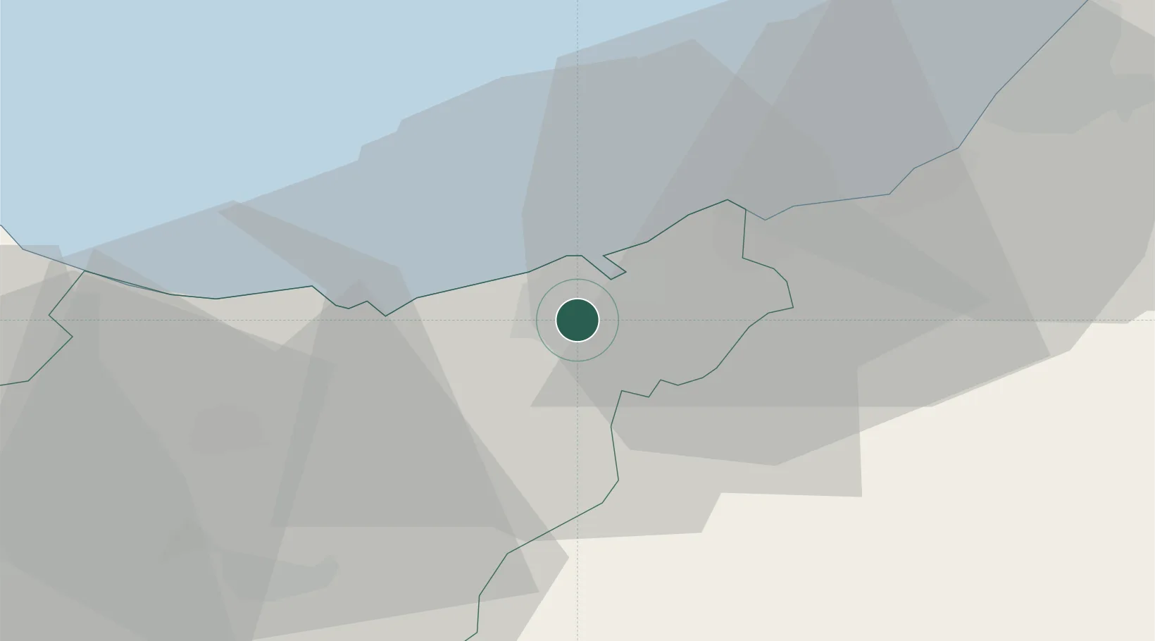
Hub Profile
Place type
District seat
Region
Basque Country
Population
4,254
Time zone
Europe/Madrid
Elevation
11 m
Location
Nearby Logistics Neighbours
Cities
- 1Lizartza5 km
- 2Urnieta5 km
- 3Rentería6 km
- 4Pasai San Pedro6 km
- 5Oiartzun (Elizalde)8 km
Ports
- 1Puerto De Pasajes6 km
- 2Bayonne46 km
- 3Bermeo64 km
- 4Puerto De Bilbao89 km
- 5Santander150 km
Airports
- 1San Sebastián Airport15 km
- 2Biarritz Pays Basque airport40 km
- 3Pamplona Airport62 km
- 4Vitoria Airport77 km
- 5Bilbao Airport78 km
Trade Zones
DatabookThe Record of Consolidated Knowledge
Spain beyond logistics?