UN/LOCODE hub · Spain
ESSFL

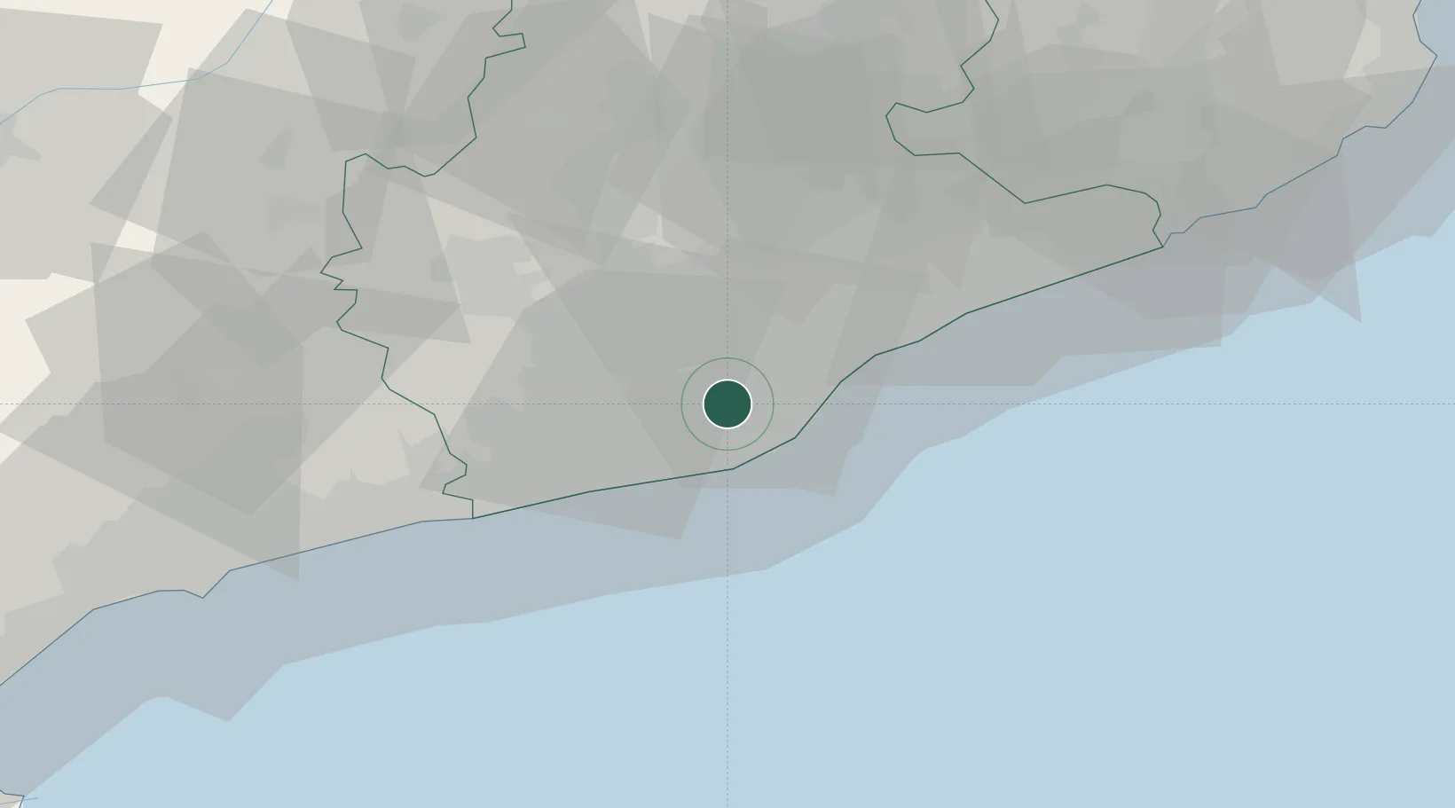
Sant Feliu de Llobregat

41.3833°, 2.0500°
42,919
Population
3
Transport functions

Transport Functions

Port
Rail
Road
UN/LOCODE

Hub Profile

Place type
District seat
GeoNames
Region
Catalonia
GeoNames
Population
42,919
GeoNames
Time zone
Europe/Madrid
GeoNames
Elevation
81 m
GeoNames

Location

Location of ESSFL
Natural Earth 10m (public domain) · Catalonia · ESSFL · 41.38, 2.05GoogleOSMYandex

Nearby Logistics Neighbours

Cities
  1. 1Sant Joan Despí2 km
  2. 2Sant Vicenç dels Horts3 km
  3. 3Cornellá de Llobregat5 km
  4. 4Hospitalet7 km
  5. 5Barcelona9 km
Nearest neighbours — logibook spatial index (haversine) over the source coordinates
Ports
  1. 1Barcelona10 km
  2. 2Villanueva Y Geltru31 km
  3. 3Tarragona75 km
  4. 4San Feliu De Guixols93 km
  5. 5Palamos102 km
Nearest neighbours — logibook spatial index (haversine) over the source coordinates
Airports
  1. 1Josep Tarradellas Barcelona-El Prat Airport10 km
  2. 2Folgueroles Airfield67 km
  3. 3Reus Airport78 km
  4. 4Girona-Costa Brava Airport83 km
  5. 5Pirineus - la Seu d'Urgel Airport119 km
Nearest neighbours — logibook spatial index (haversine) over the source coordinates
Trade Zones
  1. 1Zona Franca de Barcelona8 km
  2. 2Depósito Franco de Tarragona73 km
  3. 3ZFU Perpignan162 km
  4. 4Depósito Franco de Zaragoza237 km
  5. 5ZFU Béziers237 km
Nearest neighbours — logibook spatial index (haversine) over the source coordinates
DatabookThe Record of Consolidated Knowledge
Spain beyond logistics?
Browse databook

All Sources

LocationsUN/LOCODE
UN/LOCODE — free
LocationsGeoNames
CC BY 4.0
Portsthe NGA World Port Index
Public domain (US gov)
AirportsOurAirports
Public domain
Trade Zonesthe World Bank SEZ database
CC BY 4.0
Trade ZonesOpen Zone Map
CC BY
← Spain locations