UN/LOCODE hub · Spain
ESBCN
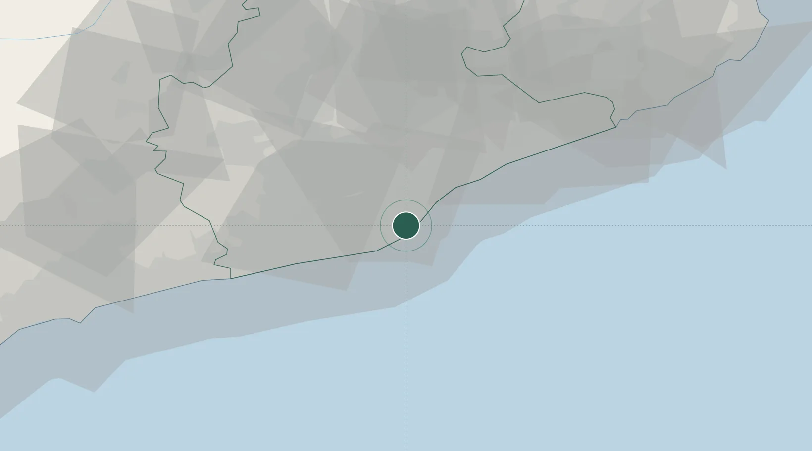
Barcelona
41.3512°, 2.1491°
1,686,208
Population
5
Transport functions
3
Container terminals
Transport Functions
Port
Rail
Road
Airport
Postal
Hub Profile
Place type
Regional capital
Region
Catalonia
Population
1,686,208
Time zone
Europe/Madrid
Elevation
15 m
Logistics facilities
33
Container terminals
3
Location
Nearby Logistics Neighbours
Cities
- 1Hospitalet2 km
- 2El Prat de Llobregat5 km
- 3Cornellá de Llobregat6 km
- 4Sant Joan Despí7 km
- 5Sant Feliu de Llobregat9 km
Ports
- 1Villanueva Y Geltru37 km
- 2Tarragona82 km
- 3San Feliu De Guixols88 km
- 4Palamos97 km
- 5Rosas133 km
Airports
Trade Zones
- 1Zona Franca de Barcelona3 km
- 2Depósito Franco de Tarragona80 km
- 3ZFU Perpignan162 km
- 4ZFU Béziers237 km
- 5Depósito Franco de Zaragoza245 km
DatabookThe Record of Consolidated Knowledge
Spain beyond logistics?