Transport Functions
Multimodal
Hub Profile
Region
B
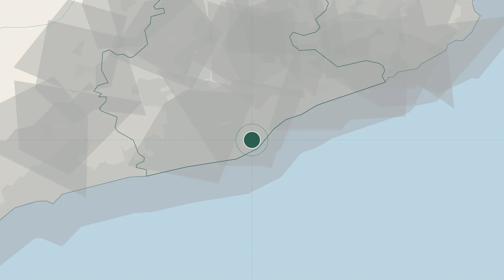
Location
Nearby Logistics Neighbours
Cities
- 1Barcelona2 km
- 2Cornellá de Llobregat5 km
- 3Sant Joan Despí6 km
- 4El Prat de Llobregat7 km
- 5Sant Feliu de Llobregat7 km
Ports
- 1Barcelona3 km
- 2Villanueva Y Geltru37 km
- 3Tarragona81 km
- 4San Feliu De Guixols88 km
- 5Palamos97 km
Airports
Trade Zones
- 1Zona Franca de Barcelona4 km
- 2Depósito Franco de Tarragona79 km
- 3ZFU Perpignan161 km
- 4ZFU Béziers236 km
- 5Depósito Franco de Zaragoza244 km
DatabookThe Record of Consolidated Knowledge
Spain beyond logistics?