UN/LOCODE hub · Estonia
EESLM

Sillamäe

59.4167°, 27.7333°
4
Transport functions

Transport Functions

Port
Rail
Road
Border Crossing
Sillamäe is also a profiled seaport →
UN/LOCODE

Hub Profile

Region
45
GeoNames

Location

Location of EESLM
Natural Earth 10m (public domain) · 45 · EESLM · 59.42, 27.73GoogleOSMYandex

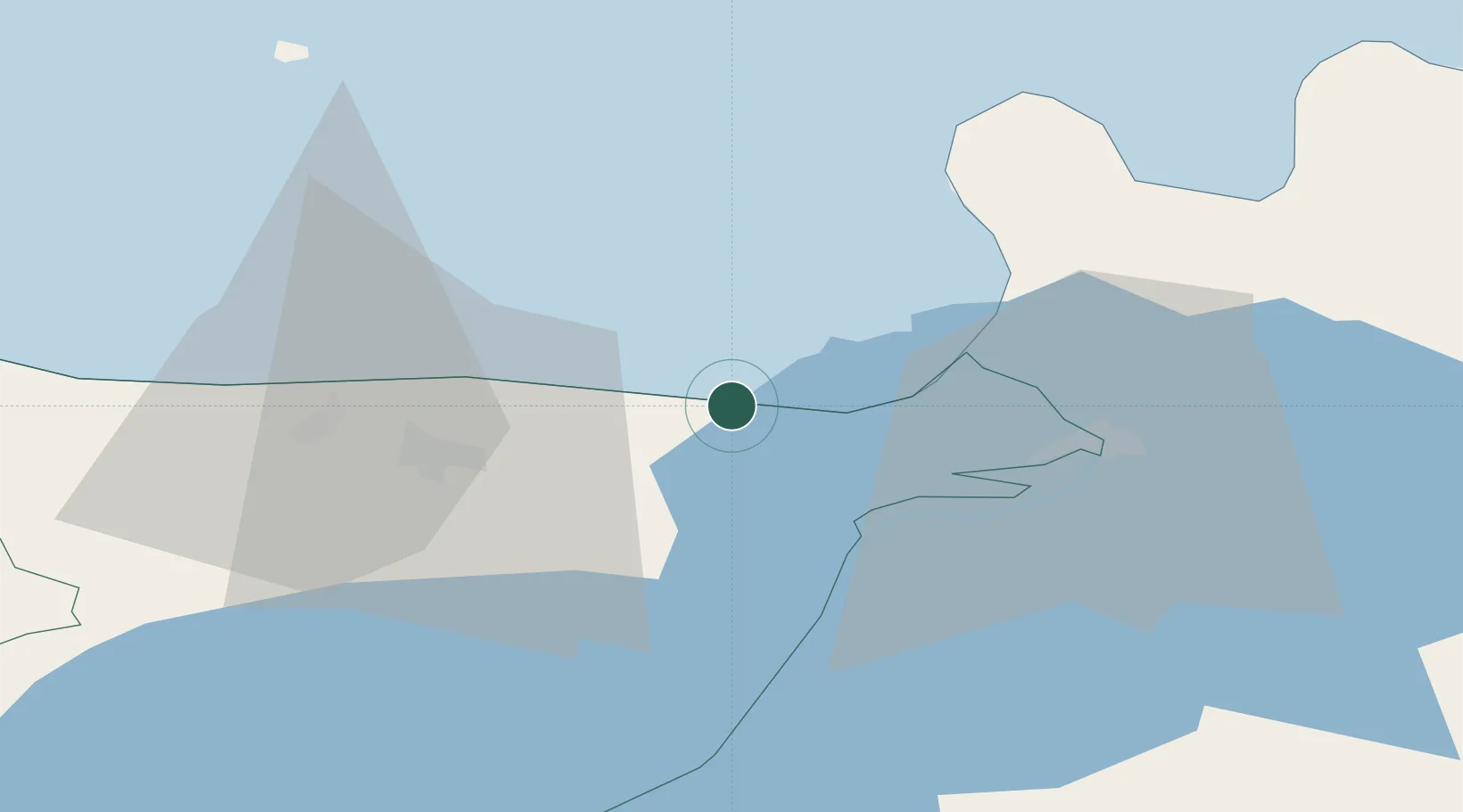
Nearby Logistics Neighbours

Cities
  1. 1Vaivara6 km
  2. 2Toila12 km
  3. 3Narva-Jõesuu Sadam19 km
  4. 4Suur-Lootsi19 km
  5. 5Jõhvi19 km
Nearest neighbours — logibook spatial index (haversine) over the source coordinates
Ports
  1. 1Ust Luga43 km
  2. 2Kunda68 km
  3. 3Loksa116 km
  4. 4Primorsk117 km
  5. 5Kotka124 km
Nearest neighbours — logibook spatial index (haversine) over the source coordinates
Airports
  1. 1Smuravyovo Air Base69 km
  2. 2Pribylovo Naval Air Base129 km
  3. 3Helsinki East-Redstone Aerodrome134 km
  4. 4Tartu Airport137 km
  5. 5Lennart Meri Tallinn Airport164 km
Nearest neighbours — logibook spatial index (haversine) over the source coordinates
Trade Zones
  1. 1Port of Sillamäe1 km
  2. 2Port of Hamina-Kotka125 km
  3. 3St Petersburg Technology Innovative Special Economic Zone136 km
  4. 4Muuga Free Zone155 km
  5. 5Free Zone of Lappeenranta182 km
Nearest neighbours — logibook spatial index (haversine) over the source coordinates
DatabookThe Record of Consolidated Knowledge
Estonia beyond logistics?
Browse databook

All Sources

LocationsUN/LOCODE
UN/LOCODE — free
Portsthe NGA World Port Index
Public domain (US gov)
AirportsOurAirports
Public domain
Trade Zonesthe World Bank SEZ database
CC BY 4.0
Trade ZonesOpen Zone Map
CC BY
← Estonia locations