Transport Functions
Rail
Road
Hub Profile
Place type
Populated place
Region
Ida-Virumaa
Population
126
Time zone
Europe/Tallinn
Elevation
35 m
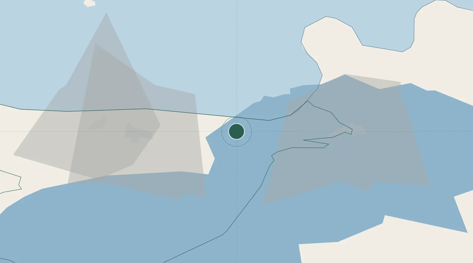
Location
Nearby Logistics Neighbours
Cities
- 1Sillamäe6 km
- 2Toila14 km
- 3Jõhvi19 km
- 4Narva-Jõesuu Sadam20 km
- 5Suur-Lootsi20 km
Airports
- 1Smuravyovo Air Base63 km
- 2Tartu Airport133 km
- 3Pribylovo Naval Air Base134 km
- 4Helsinki East-Redstone Aerodrome140 km
- 5Lennart Meri Tallinn Airport165 km
Trade Zones
DatabookThe Record of Consolidated Knowledge
Estonia beyond logistics?