Transport Functions
Rail
Road
Hub Profile
Place type
Populated place
Region
Central Jutland
Time zone
Europe/Copenhagen
Elevation
76 m
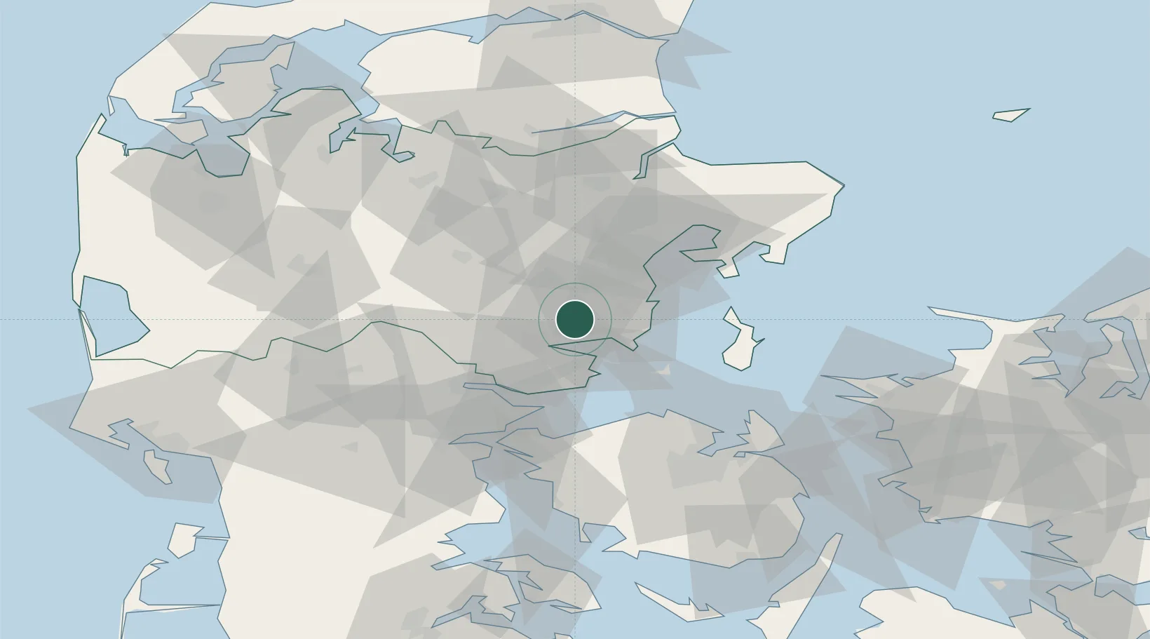
Location
Nearby Logistics Neighbours
Cities
- 1Skanderborg12 km
- 2Stilling13 km
- 3Rude18 km
- 4Hov18 km
- 5Ry20 km
Ports
- 1Horsens12 km
- 2Arhus27 km
- 3Vejle37 km
- 4Studstrup41 km
- 5Fredericia44 km
Airports
Trade Zones
DatabookThe Record of Consolidated Knowledge
Denmark beyond logistics?