UN/LOCODE hub · Denmark
DKAAH

Barrit

55.7167°, 9.9000°
1
Transport functions

Transport Functions

Multimodal
UN/LOCODE

Hub Profile

Place type
Populated place
GeoNames
Region
Central Jutland
GeoNames
Time zone
Europe/Copenhagen
GeoNames
Elevation
63 m
GeoNames

Location

Location of DKAAH
Natural Earth 10m (public domain) · Central Jutland · DKAAH · 55.72, 9.90GoogleOSMYandex

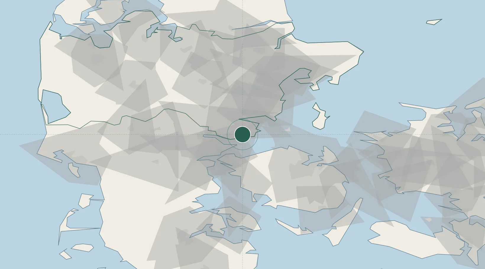
Nearby Logistics Neighbours

Cities
  1. 1Juelsminde8 km
  2. 2Brejning15 km
  3. 3Bogense20 km
  4. 4Fredericia22 km
  5. 5Odense26 km
Nearest neighbours — logibook spatial index (haversine) over the source coordinates
Ports
  1. 1Horsens17 km
  2. 2Fredericia19 km
  3. 3Vejle22 km
  4. 4Middelfart26 km
  5. 5Skaerbaek29 km
Nearest neighbours — logibook spatial index (haversine) over the source coordinates
Airports
  1. 1Odense Hans Christian Andersen Airport38 km
  2. 2Billund Airport47 km
  3. 3Kolding Vamdrup Airfield48 km
  4. 4Aarhus Seaplane Terminal53 km
  5. 5Skrydstrup Air Base68 km
Nearest neighbours — logibook spatial index (haversine) over the source coordinates
Trade Zones
  1. 1Freeport of Kiel155 km
  2. 2Freeport of Copenhagen- Nordhavn169 km
  3. 3MTS Malmö Transport and Spedition201 km
  4. 4Freeport of Cuxhaven (Freihafen Cuxhaven)227 km
  5. 5Gothenburg Boundless Customs Warehouse250 km
Nearest neighbours — logibook spatial index (haversine) over the source coordinates
DatabookThe Record of Consolidated Knowledge
Denmark beyond logistics?
Browse databook

All Sources

LocationsUN/LOCODE
UN/LOCODE — free
Portsthe NGA World Port Index
Public domain (US gov)
AirportsOurAirports
Public domain
Trade Zonesthe World Bank SEZ database
CC BY 4.0
Trade ZonesOpen Zone Map
CC BY
← Denmark locations