About
Methodology
Sources
Licensing
English
EN
English
TR
Türkçe
DE
Deutsch
FR
Français
ES
Español
IT
Italiano
PT
Português
NL
Nederlands
PL
Polski
RU
Русский
UK
Українська
CS
Čeština
RO
Română
EL
Ελληνικά
BG
Български
AR
العربية
FA
فارسی
UR
اردو
HI
हिन्दी
BN
বাংলা
ID
Bahasa Indonesia
VI
Tiếng Việt
ZH
中文
JA
日本語
KO
한국어
logibook
/
Countries
/
China
/
Locations
/
Wenling Longmen Port
UN/LOCODE hub ·
China
CN
LMG
Wenling Longmen Port
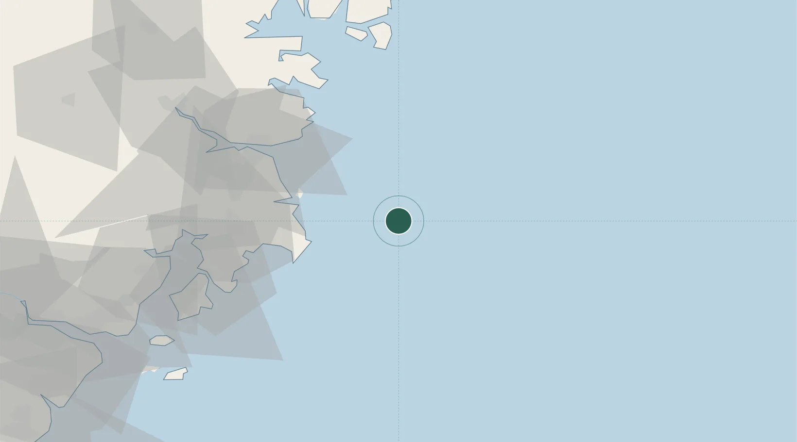
28.4167°, 121.9833°
2
Transport functions
Transport Functions
Port
Multimodal
UN/LOCODE
Hub Profile
Region
ZJ
GeoNames
Logistics facilities
1
UN/LOCODE
Location
Natural Earth 10m (public domain) · ZJ · CNLMG · 28.42, 121.98
Google ↗
OSM ↗
Yandex ↗
Nearby Logistics Neighbours
Cities
1
Haimen
61 km
2
Huangyan
76 km
3
Yuhuan
80 km
4
Shanwai
87 km
5
Damaiyu
90 km
Nearest neighbours — logibook spatial index (haversine) over the source coordinates
Ports
1
Haimen
60 km
2
Wenzhou
138 km
3
Ningbo
168 km
4
Zhen Hai
173 km
5
Zhoushan
176 km
Nearest neighbours — logibook spatial index (haversine) over the source coordinates
Airports
1
Taizhou Luqiao Airport
57 km
2
Wenzhou Longwan International Airport
124 km
3
Ningbo Lishe International Airport
165 km
4
Ningbo Zhuangqiao Air Base
172 km
5
Zhoushan Putuoshan International Airport
173 km
Nearest neighbours — logibook spatial index (haversine) over the source coordinates
Trade Zones
1
Wenzhou Hi-tech Industrial Development Zone (Binjiang District)
135 km
2
Wenzhou Economic and Technological Development Zone
140 km
3
Ningbo Meishan Bonded Area
162 km
4
Zhoushan Port Free Trade Zone
162 km
5
Ningbo Daxie Development Zone
163 km
Nearest neighbours — logibook spatial index (haversine) over the source coordinates
Data
book
The Record of Consolidated Knowledge
China beyond logistics?
Browse databook
→
All Sources
Locations
UN/LOCODE
UN/LOCODE — free
↗
Ports
the NGA World Port Index
Public domain (US gov)
↗
Airports
OurAirports
Public domain
↗
Trade Zones
the World Bank SEZ database
CC BY 4.0
↗
Trade Zones
Open Zone Map
CC BY
↗
← China locations