Transport Functions
Port
Hub Profile
Place type
District seat
Region
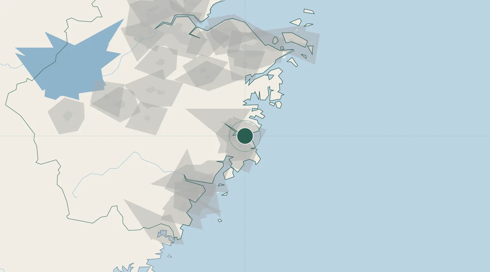
Zhejiang
Time zone
Asia/Shanghai
Elevation
9 m
Logistics facilities
1
Location
Nearby Logistics Neighbours
Cities
- 1Huangyan18 km
- 2Linhai37 km
- 3Wenling Longmen Port61 km
- 4Yuhuan62 km
- 5Damaiyu71 km
Airports
- 1Taizhou Luqiao Airport12 km
- 2Wenzhou Longwan International Airport101 km
- 3Ningbo Lishe International Airport129 km
- 4Ningbo Zhuangqiao Air Base140 km
- 5Yiwu Airport156 km
DatabookThe Record of Consolidated Knowledge
China beyond logistics?