Transport Functions
Port
Road
Airport
Multimodal
Hub Profile
Place type
Populated place
Region
Zhejiang
Time zone
Asia/Shanghai
Elevation
10 m
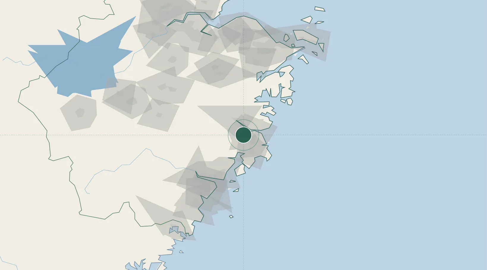
Location
Nearby Logistics Neighbours
Airports
- 1Taizhou Luqiao Airport19 km
- 2Wenzhou Longwan International Airport89 km
- 3Ningbo Lishe International Airport134 km
- 4Yiwu Airport142 km
- 5Ningbo Zhuangqiao Air Base147 km
DatabookThe Record of Consolidated Knowledge
China beyond logistics?