Diversified Zone · China
Ningbo Economic and Technological Development Zone Active
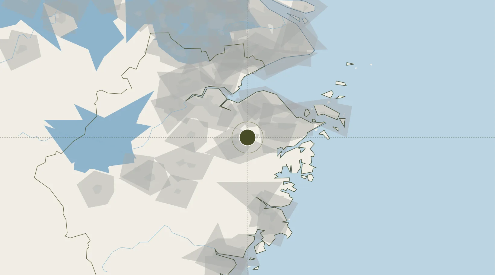
29.6834°, 121.0253°
2,960 ha
Zone area
55.3 km
Nearest port
45.1 km
Nearest airport
Gateway access
Zone profile
Zone type
Diversified Zone
Region
Zhejiang
Status
Active
Management
Public
Operator
Ningbo Economic and Technological Development Zone Management Committee
Legal framework
Zhejiang Provincial Committee of the Communist Party of China, Zhejiang Provincial People's Government: Decision on Accelerating the Construction of a Modern Industrial System (July 27, 2020), Several Opinions of the General Office of the State Council on
Location
Nearby Logistics Neighbours
Airports
Trade Zones
- 1Hangzhou Bay Shangyu Economic and Technological Development Zone43 km
- 2Ningbo Free Trade Zone54 km
- 3Ningbo Hi-tech Industrial Development Zone55 km
- 4Shaoxing Paojiang Economic and Technological Development Zone (Shaoxing Paojiang New Area)67 km
- 5Ningbo Hangzhou Bay Economic and Technological Development Zone74 km
DatabookThe Record of Consolidated Knowledge
China beyond logistics?