Seaport · China
ZhapuCNZPU
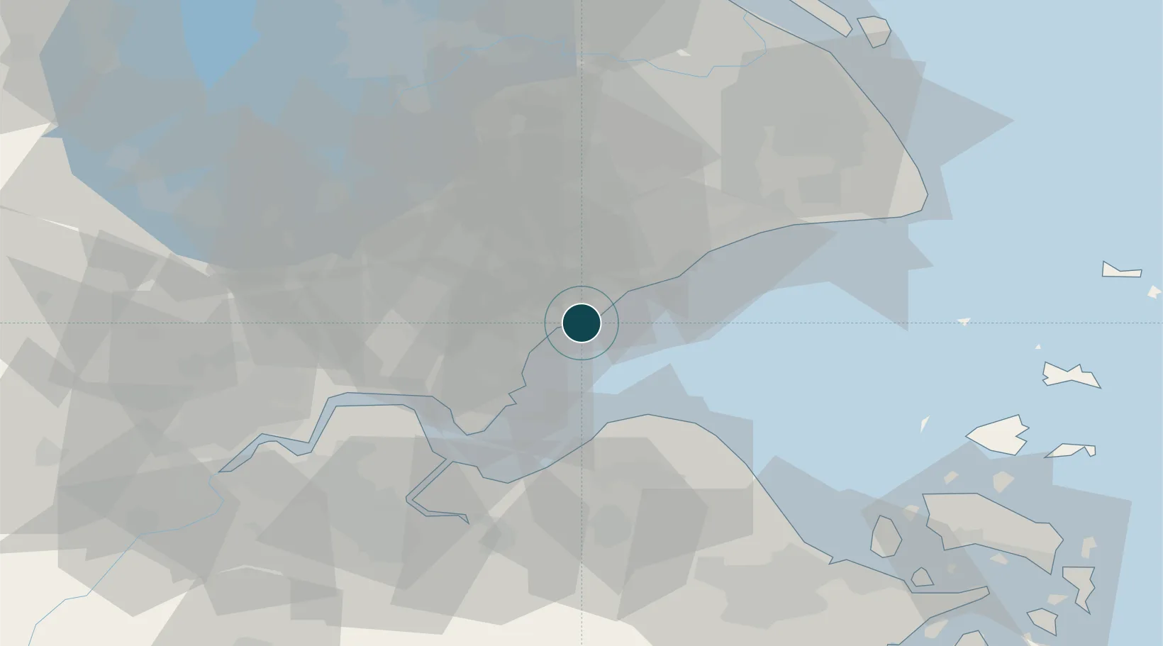
30.5833°, 121.0833°
7.9 m
Channel depth
1
Container terminals
45.7
Port liner connectivity
Channel & Berth Profile
Pilotage, Tugs & Services
Pilotage compulsoryYES
Pilotage availableYES
Tug assistanceYES
Potable waterYES
Garbage disposalYES
Facilities & Capabilities
Container—
Ro-Ro—
Liquid bulk—
Dry bulk—
Oil terminal—
Break bulk—
Dry dockNO
RepairsNO
BunkeringYES
Rail link—
Dangerous cargo—
ISPS security—
Harbour Specifications
Harbour size
Small
Harbour type
Open Roadstead
Shelter
Fair
Water body
East China Sea; North Pacific Ocean
Tidal range
2 m
Overhead limit
No
Pilotage
Yes
Liner Connectivity
45.7
PLSCI
Port Liner Shipping Connectivity Index for Zhapu, as published by UNCTAD for the latest available quarter. Higher values indicate stronger scheduled liner-shipping integration.
Shown relative to the highest per-port PLSCI in the dataset (1,657.9).
Location
Container Terminals · 1
ZHEJIANG SHIHANG ZHAPU CONTAINER TERMINAL (ZIT)
ZIT ZHEJIANG SHIHANG ZHAPU PORT CO., LTD.
Nearby Logistics Neighbours
Airports
Trade Zones
DatabookThe Record of Consolidated Knowledge
China beyond logistics?