Transport Functions
Port
Road
Multimodal
Hub Profile
Place type
District seat
Region
Zhejiang
Time zone
Asia/Shanghai
Elevation
13 m
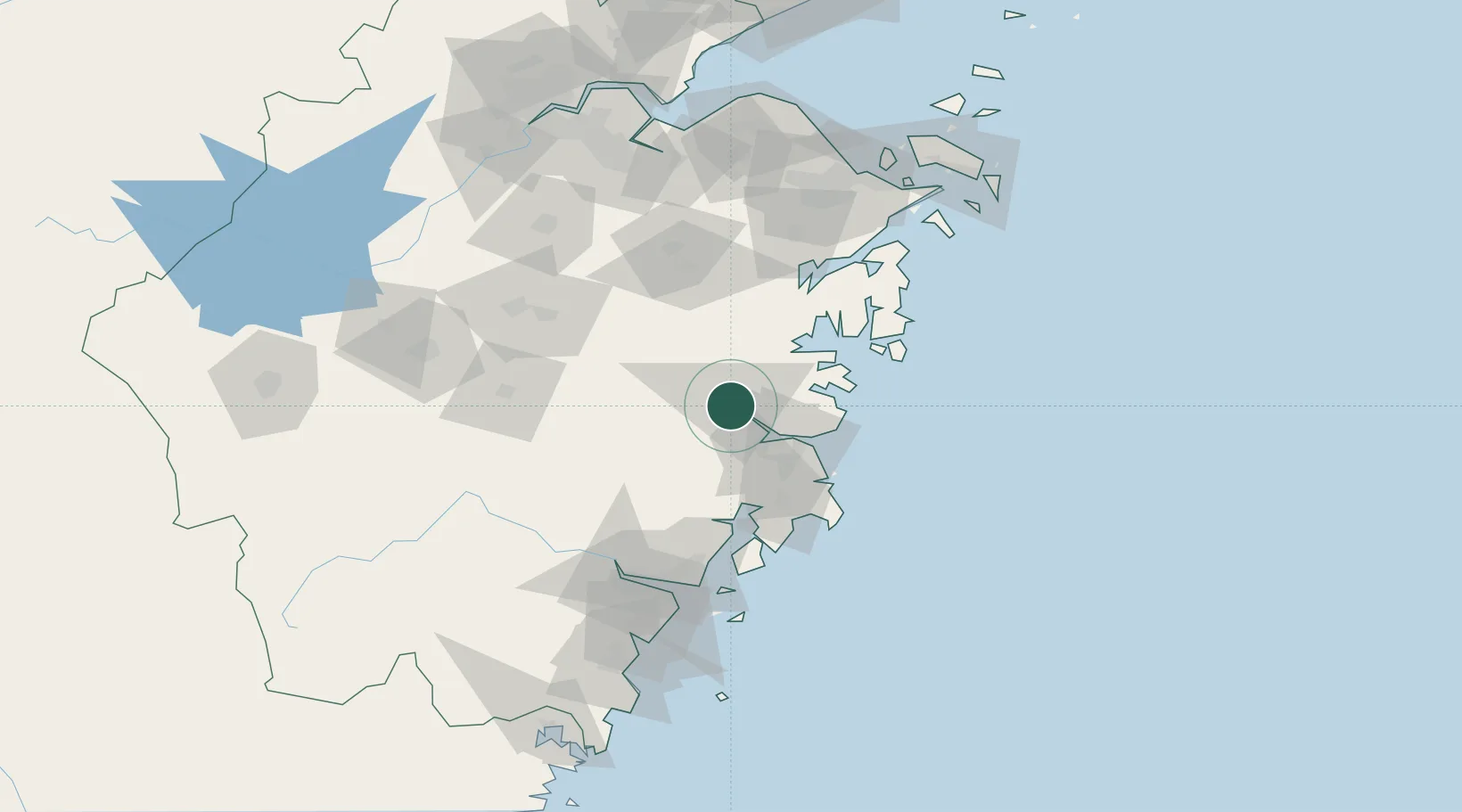
Location
Nearby Logistics Neighbours
Airports
- 1Taizhou Luqiao Airport44 km
- 2Wenzhou Longwan International Airport108 km
- 3Ningbo Lishe International Airport114 km
- 4Yiwu Airport119 km
- 5Ningbo Zhuangqiao Air Base127 km
DatabookThe Record of Consolidated Knowledge
China beyond logistics?