Transport Functions
Road
Multimodal
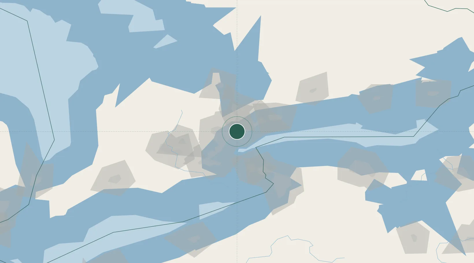
Hub Profile
Place type
Populated place
Region
Ontario
Time zone
America/Toronto
Elevation
172 m
Location
Nearby Logistics Neighbours
Cities
- 1Weston4 km
- 2Vaughan14 km
- 3Toronto14 km
- 4Pearson International Apt/Toronto15 km
- 5Bramalea22 km
Ports
- 1Toronto11 km
- 2Port Credit20 km
- 3Clarkson25 km
- 4Oakville34 km
- 5Port Whitby45 km
Airports
Trade Zones
- 1FTZ No. 034 Niagara County50 km
- 2Niagara Foreign Trade Zone75 km
- 3FTZ No. 023 Buffalo103 km
- 4FTZ No. 141 Monroe County128 km
- 5FTZ No. 289 Ontario County182 km
DatabookThe Record of Consolidated Knowledge
Canada beyond logistics?