Runway & Layout

Airport Specifications
IATA code
SVR
ICAO code
BGSV
Airport class
Heliport
Scheduled service
Yes
Served city
Savissivik
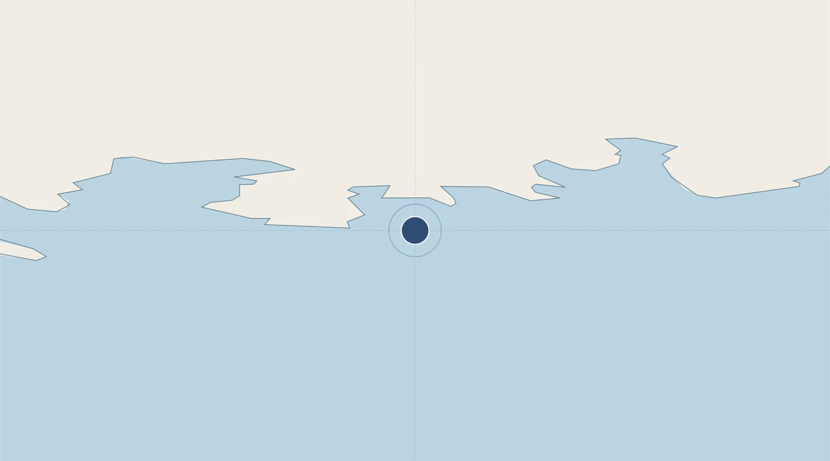
Location
Nearby Logistics Neighbours
Airports
- 1Pituffik Space Base110 km
- 2Qaanaaq Airport196 km
- 3Siorapaluk Heliport241 km
- 4Tasiusaq Heliport396 km
- 5Innarsuit Heliport412 km
Cities
- 1Kullorsuaq274 km
- 2Grise Fiord473 km
- 3Suursaq535 km
- 4Milne Inlet Port665 km
- 5Maarmorliik692 km
Ports
- 1Pituffik (Thule Air Base)114 km
- 2Pond Inlet502 km
- 3Kajalleq Upernavik519 km
- 4Marmorilik693 km
- 5Uummannaq722 km
Trade Zones
- 1Crossroads Business Park3048 km
- 2FTZ No. 179 Madawaska3199 km
- 3Winnipegs Centreport Canada3231 km
- 4Québec City FTZ3258 km
- 5Cape Breton Regional Municipality Foreign Trade Zone3326 km
DatabookThe Record of Consolidated Knowledge
Greenland beyond logistics?