Medium airport · Canada
Alert AirportCYLT
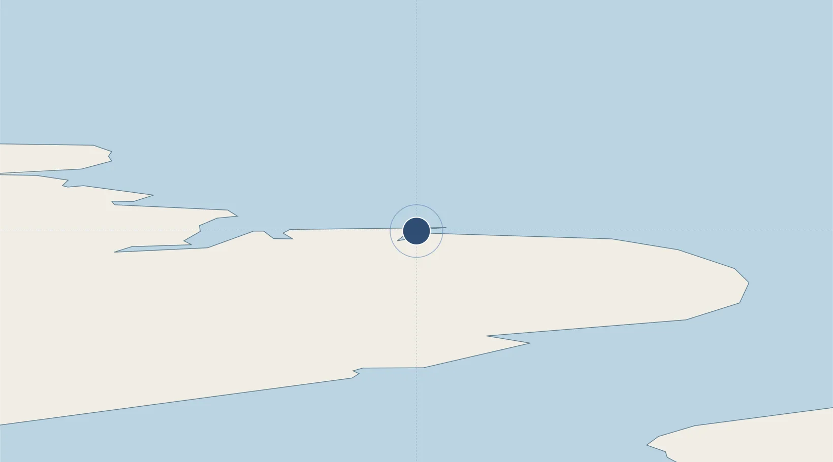
82.5173°, -62.2830°
5,500 ft
Longest runway
1
Runways
100 ft
Elevation
Runway & Layout

Radio Frequencies
OPS
568 MHz
Navaids
LT NDB Alert 305 kHz
ULT TACAN Alert 110.70 MHz
Runways · 1
| Runway | Dimensions | Surface | True heading | Lit |
|---|---|---|---|---|
| 05T/23T | 5,500 × 150ft | Gravel | 048° | ✓ |
Airport Specifications
IATA code
YLT
ICAO code
CYLT
Airport class
Medium airport
Scheduled service
No
Runway surface
Gravel
Served city
Alert
Location
Nearby Logistics Neighbours
Airports
- 1Siorapaluk Heliport548 km
- 2Qaanaaq Airport575 km
- 3Pituffik Space Base677 km
- 4Savissivik Heliport725 km
- 5Tasiusaq Heliport1026 km
Cities
- 1Suursaq202 km
- 2Grise Fiord788 km
- 3Kullorsuaq889 km
- 4Arctic Bay1165 km
- 5Milne Inlet Port1254 km
Ports
- 1Pituffik (Thule Air Base)678 km
- 2Pond Inlet1131 km
- 3Kajalleq Upernavik1163 km
- 4Marmorilik1291 km
- 5Uummannaq1339 km
Trade Zones
- 1Crossroads Business Park3742 km
- 2Winnipegs Centreport Canada3802 km
- 3FTZ No. 179 Madawaska3924 km
- 4FTZ No. 259 Koochiching County3954 km
- 5Québec City FTZ3980 km
DatabookThe Record of Consolidated Knowledge
Canada beyond logistics?