Transport Functions
Road
Multimodal
Hub Profile
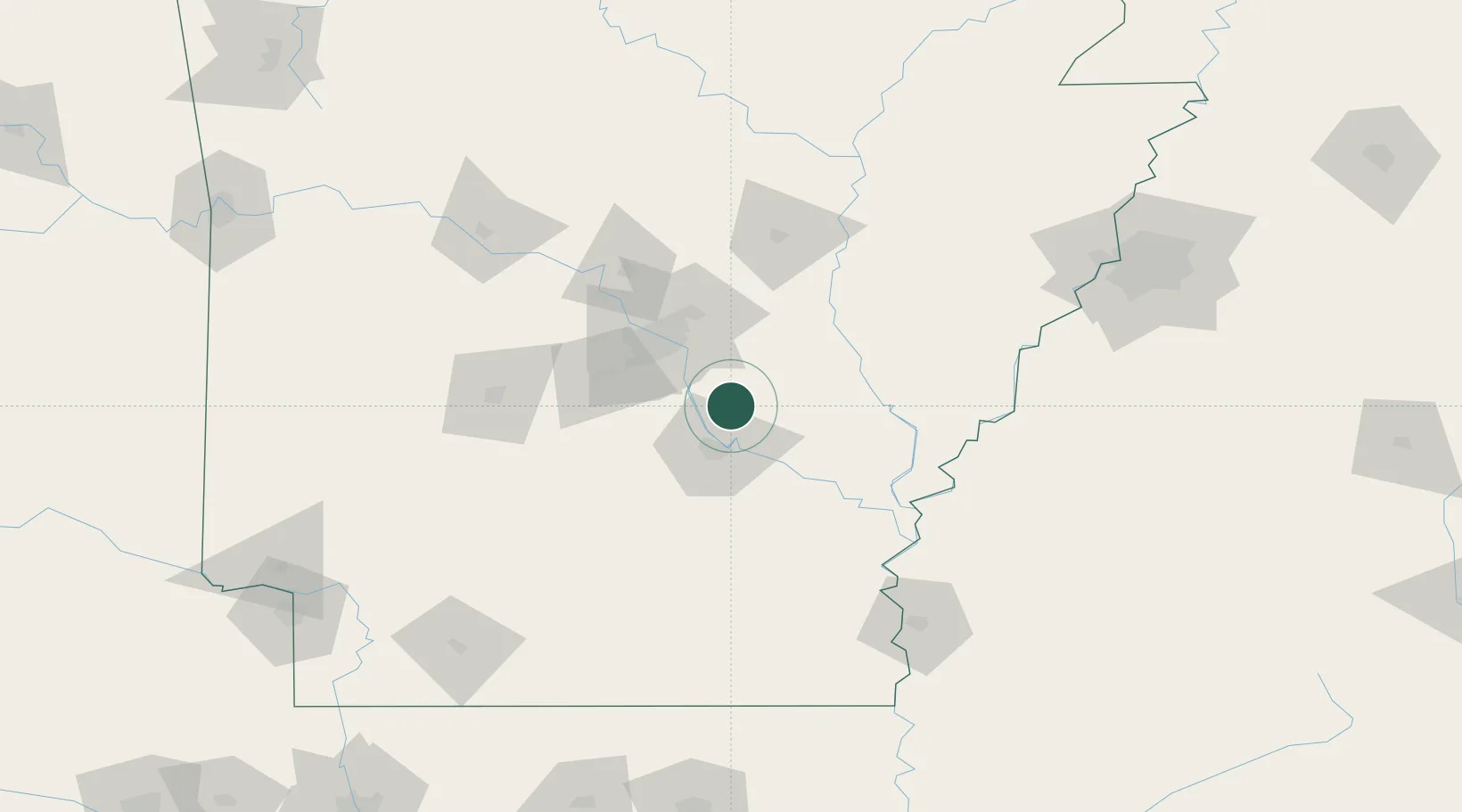
Place type
Populated place
Region
Arkansas
Time zone
America/Chicago
Elevation
69 m
Location
Nearby Logistics Neighbours
Cities
- 1Sugarland0 km
- 2England9 km
- 3Altheimer17 km
- 4Humnoke21 km
- 5Forest Park40 km
Ports
- 1Port Of Memphis177 km
- 2Baton Rouge451 km
- 3Madisonville481 km
- 4Lake Charles486 km
- 5Convent504 km
Airports
Trade Zones
- 1FTZ No. 014 Little Rock37 km
- 2FTZ No. 287 Tunica County119 km
- 3FTZ No. 077 Memphis173 km
- 4FTZ No. 273 West Memphis178 km
- 5FTZ No. 262 Southaven184 km
DatabookThe Record of Consolidated Knowledge
United States beyond logistics?