Transport Functions
Port
Multimodal
Hub Profile
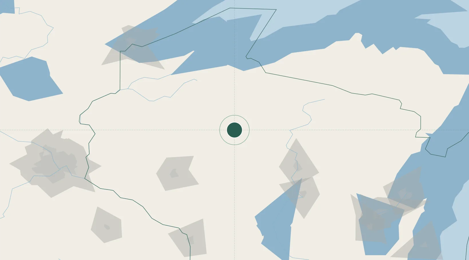
Place type
Populated place
Region
Wisconsin
Population
87
Time zone
America/Chicago
Elevation
388 m
Location
Nearby Logistics Neighbours
Airports
Trade Zones
- 1FTZ No. 051 Duluth192 km
- 2FTZ No. 167 Brown County214 km
- 3FTZ No. 119 Minneapolis-St. Paul216 km
- 4FTZ No. 266 Dane County277 km
- 5FTZ No. 041 Milwaukee334 km
DatabookThe Record of Consolidated Knowledge
United States beyond logistics?