Transport Functions
Port
Road
Multimodal
Hub Profile
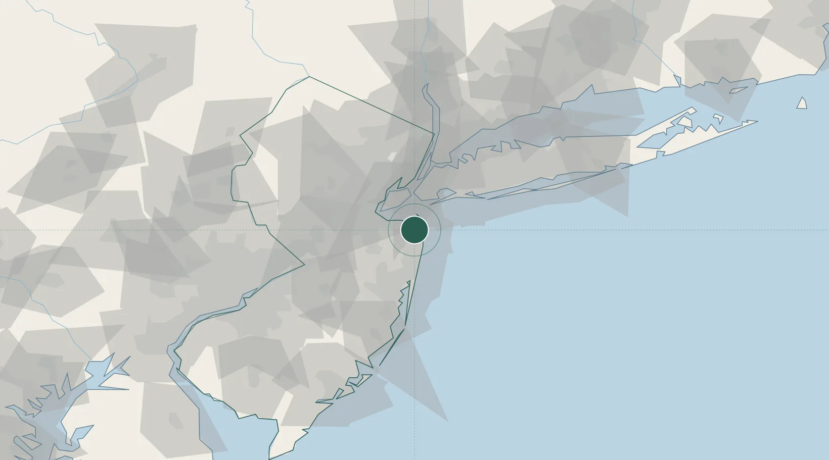
Place type
Populated place
Region
New Jersey
Time zone
America/New_York
Elevation
7 m
Location
Nearby Logistics Neighbours
Cities
- 1Fair Haven2 km
- 2Atlantic Highlands2 km
- 3Highlands3 km
- 4Fort Monmouth7 km
- 5Oceanport8 km
Ports
- 1Leonardo6 km
- 2South Amboy23 km
- 3Perth Amboy24 km
- 4Chrome26 km
- 5Sewaren26 km
Airports
Trade Zones
DatabookThe Record of Consolidated Knowledge
United States beyond logistics?