Transport Functions
Port
Rail
Road
Hub Profile
Region
NJ
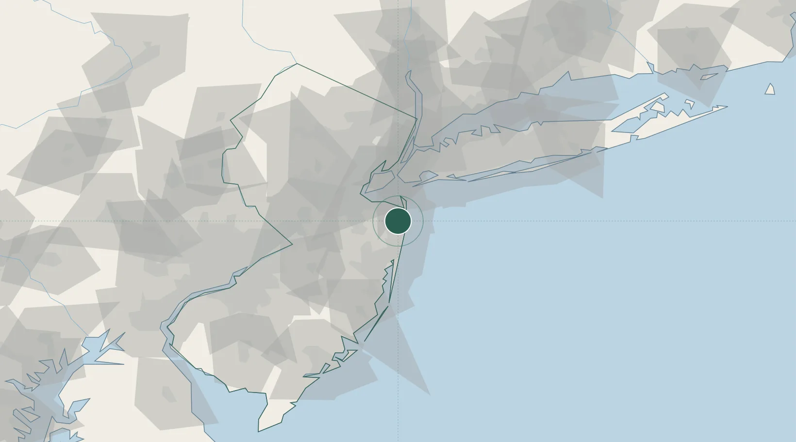
Location
Nearby Logistics Neighbours
Cities
- 1Oceanport1 km
- 2Long Branch3 km
- 3West Long Branch4 km
- 4Fair Haven6 km
- 5Monmouth Beach6 km
Ports
- 1Leonardo13 km
- 2South Amboy27 km
- 3Perth Amboy28 km
- 4Sewaren32 km
- 5Chrome32 km
Airports
Trade Zones
DatabookThe Record of Consolidated Knowledge
United States beyond logistics?