UN/LOCODE hub · United States
USOCP
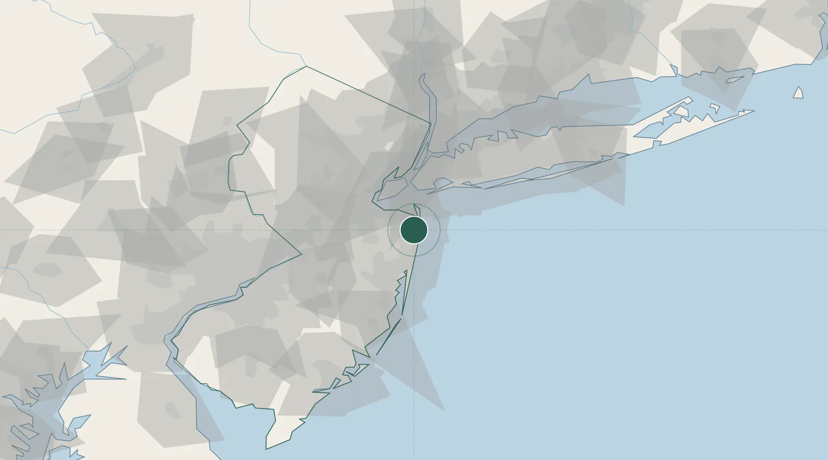
Oceanport
40.3167°, -74.0167°
5,739
Population
3
Transport functions
Transport Functions
Port
Rail
Road
Hub Profile
Place type
Populated place
Region
New Jersey
Population
5,739
Time zone
America/New_York
Elevation
6 m
Location
Nearby Logistics Neighbours
Cities
- 1Fort Monmouth1 km
- 2Long Branch2 km
- 3West Long Branch4 km
- 4Monmouth Beach4 km
- 5Fair Haven6 km
Ports
- 1Leonardo14 km
- 2South Amboy28 km
- 3Perth Amboy29 km
- 4Chrome33 km
- 5Sewaren33 km
Airports
Trade Zones
DatabookThe Record of Consolidated Knowledge
United States beyond logistics?