Transport Functions
Rail
Road
Multimodal
Hub Profile
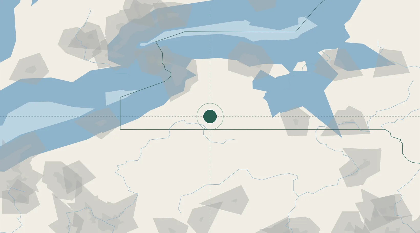
Place type
Populated place
Region
New York
Population
1,529
Time zone
America/New_York
Elevation
456 m
Location
Nearby Logistics Neighbours
Cities
- 1Portville21 km
- 2Little Genesee23 km
- 3Vandalia30 km
- 4Delevan35 km
- 5Salamanca37 km
Ports
- 1Buffalo90 km
- 2Dunkirk93 km
- 3Tonawanda104 km
- 4Port Colborne110 km
- 5Welland119 km
Airports
Trade Zones
- 1FTZ No. 289 Ontario County87 km
- 2FTZ No. 023 Buffalo89 km
- 3FTZ No. 254 Jefferson County96 km
- 4Niagara Foreign Trade Zone116 km
- 5FTZ No. 141 Monroe County121 km
DatabookThe Record of Consolidated Knowledge
United States beyond logistics?