UN/LOCODE hub · United States
USVHW

Woodhaven

40.6833°, -73.8833°
36,555
Population
2
Transport functions

Transport Functions

Road
Multimodal
UN/LOCODE

Hub Profile

Place type
Urban district
GeoNames
Region
New York
GeoNames
Population
36,555
GeoNames
Time zone
America/New_York
GeoNames
Elevation
13 m
GeoNames

Location

Location of USVHW
Natural Earth 10m (public domain) · New York · USVHW · 40.68, -73.88GoogleOSMYandex

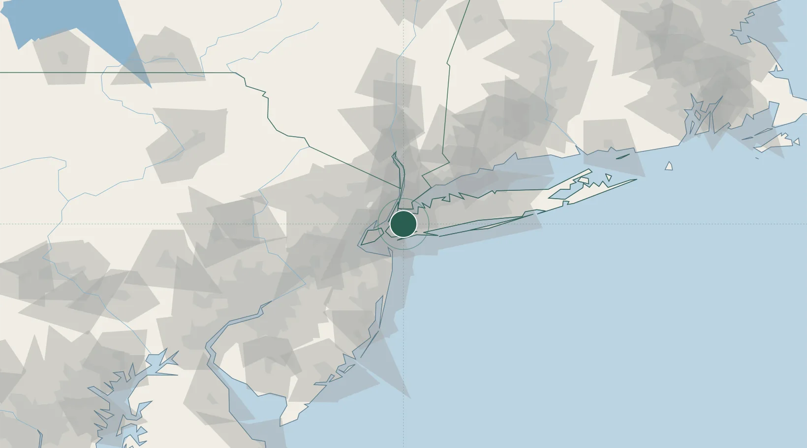
Nearby Logistics Neighbours

Cities
  1. 1Linden Hill3 km
  2. 2South Ozone Park6 km
  3. 3Rego Park, Queens6 km
  4. 4Sunnyside, Queens6 km
  5. 5Brooklyn/New York10 km
Nearest neighbours — logibook spatial index (haversine) over the source coordinates
Ports
  1. 1New York City11 km
  2. 2Brooklyn11 km
  3. 3Jersey City13 km
  4. 4Hoboken14 km
  5. 5Weehawken15 km
Nearest neighbours — logibook spatial index (haversine) over the source coordinates
Airports
  1. 1New York Skyports Inc Seaplane Base10 km
  2. 2East 34th Street Heliport10 km
  3. 3John F. Kennedy International Airport10 km
  4. 4LaGuardia Airport11 km
  5. 5West 30th Street Heliport13 km
Nearest neighbours — logibook spatial index (haversine) over the source coordinates
Trade Zones
  1. 1FTZ No. 001 New York City11 km
  2. 2FTZ No. 049 Newark Elizabeth25 km
  3. 3FTZ No. 052 Suffolk County64 km
  4. 4FTZ No. 235 Lakewood74 km
  5. 5FTZ No. 076 Bridgeport80 km
Nearest neighbours — logibook spatial index (haversine) over the source coordinates
DatabookThe Record of Consolidated Knowledge
United States beyond logistics?
Browse databook

All Sources

LocationsUN/LOCODE
UN/LOCODE — free
LocationsGeoNames
CC BY 4.0
Portsthe NGA World Port Index
Public domain (US gov)
AirportsOurAirports
Public domain
Trade Zonesthe World Bank SEZ database
CC BY 4.0
Trade ZonesOpen Zone Map
CC BY
← United States locations