UN/LOCODE hub · United States
USRYN
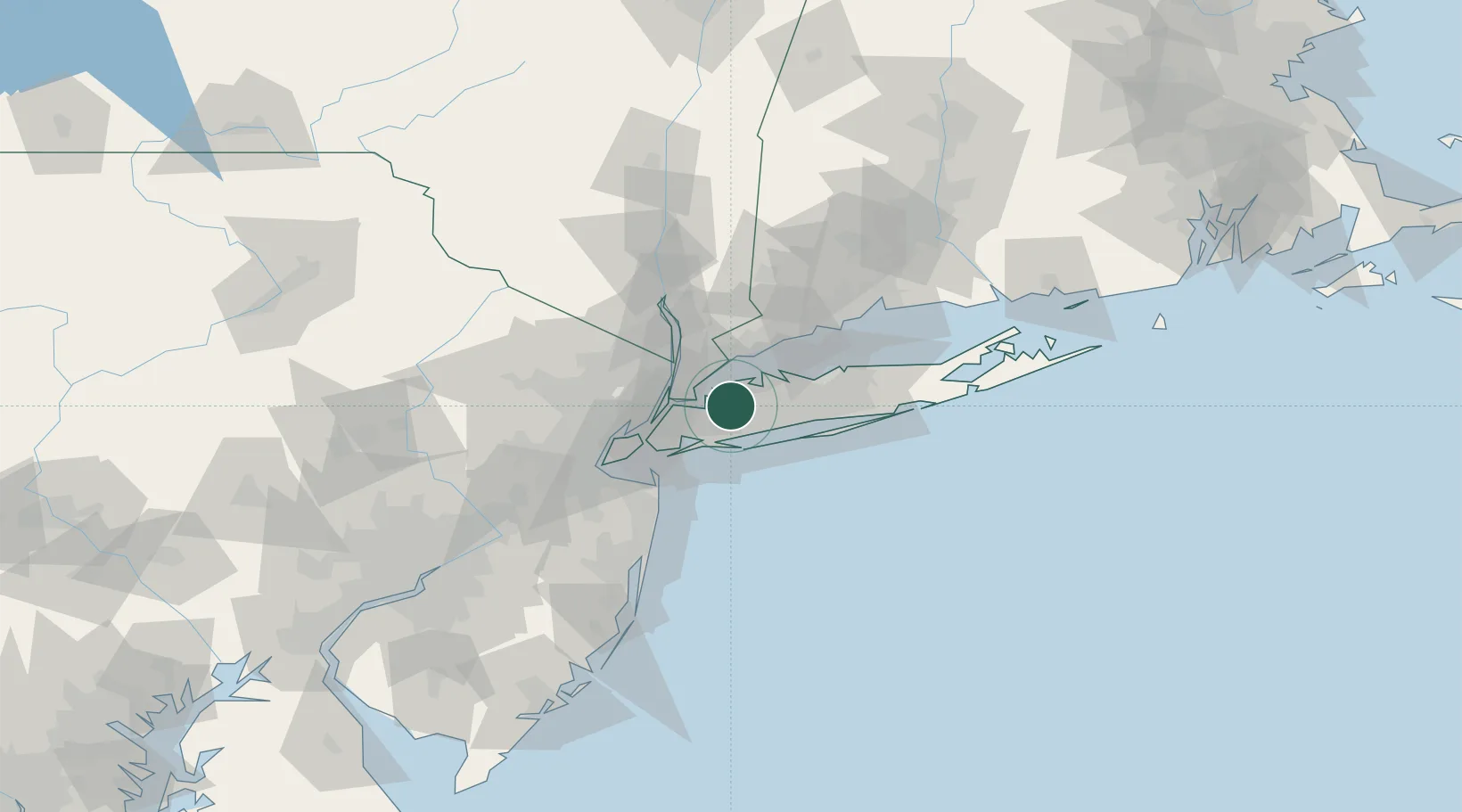
Roslyn Heights
40.7833°, -73.6333°
6,577
Population
2
Transport functions
Transport Functions
Port
Multimodal
Hub Profile
Place type
Populated place
Region
New York
Population
6,577
Time zone
America/New_York
Elevation
53 m
Location
Nearby Logistics Neighbours
Cities
- 1Roslyn1 km
- 2Old Westbury3 km
- 3Old Brookville5 km
- 4Sea Cliff6 km
- 5Port Washington6 km
Ports
- 1City Island15 km
- 2Port Chester24 km
- 3Greenwich26 km
- 4Yonkers28 km
- 5Stamford29 km
Airports
Trade Zones
DatabookThe Record of Consolidated Knowledge
United States beyond logistics?