UN/LOCODE hub · United States
USYYX
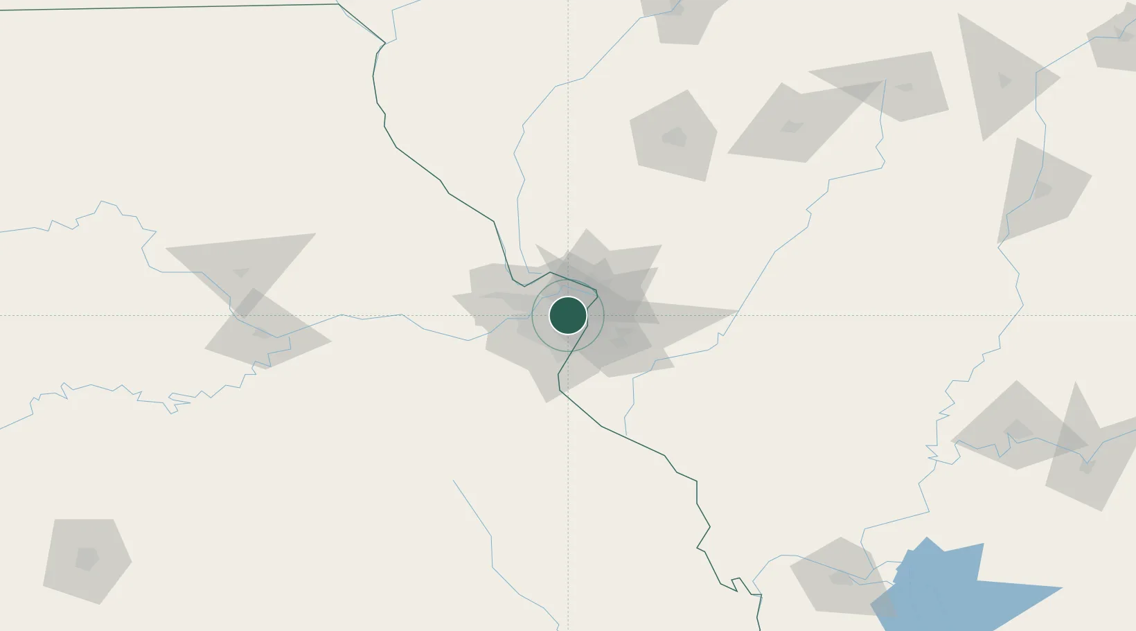
Bel Ridge
38.7000°, -90.3167°
2,722
Population
2
Transport functions
Transport Functions
Port
Multimodal
Hub Profile
Place type
Populated place
Region
Missouri
Population
2,722
Time zone
America/Chicago
Elevation
177 m
Location
Nearby Logistics Neighbours
Ports
- 1Port Of Memphis404 km
- 2Indiana Harbor411 km
- 3Gary412 km
- 4Calumet Harbor413 km
- 5Chicago422 km
Airports
Trade Zones
- 1FTZ No. 031 Granite City11 km
- 2FTZ No. 102 St. Louis County35 km
- 3FTZ No. 245 Decatur168 km
- 4FTZ No. 114 Peoria231 km
- 5FTZ No. 294 Western Kentucky237 km
DatabookThe Record of Consolidated Knowledge
United States beyond logistics?