UN/LOCODE hub · United States
USEWR
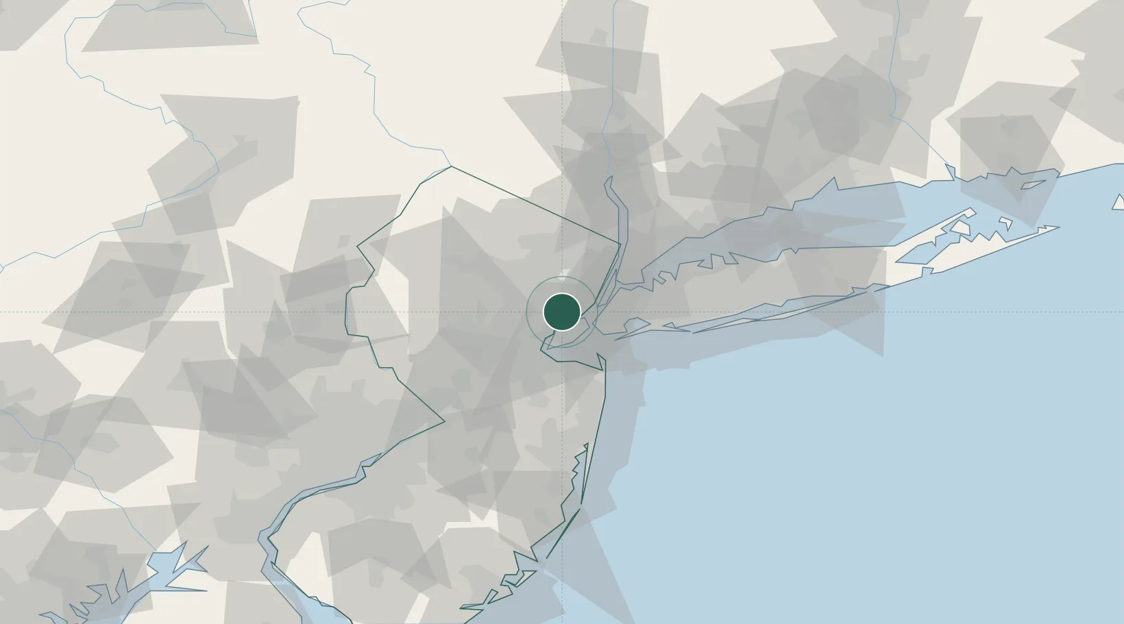
Newark
40.6749°, -74.1823°
281,944
Population
4
Transport functions
Transport Functions
Port
Rail
Road
Airport
Hub Profile
Place type
Provincial seat
Region
New Jersey
Population
281,944
Time zone
America/New_York
Elevation
9 m
Logistics facilities
49
Location
Nearby Logistics Neighbours
Cities
- 1Port Newark3 km
- 2Staten Island4 km
- 3Howland Hook5 km
- 4New York6 km
- 5Roselle Park6 km
Ports
- 1Elizabethport3 km
- 2Bayway5 km
- 3Port Richmond SI5 km
- 4Bayonne7 km
- 5Carteret11 km
Airports
Trade Zones
DatabookThe Record of Consolidated Knowledge
United States beyond logistics?