Transport Functions
Road
Multimodal
Hub Profile
Place type
Populated place
Region
New York
Time zone
America/New_York
Elevation
129 m
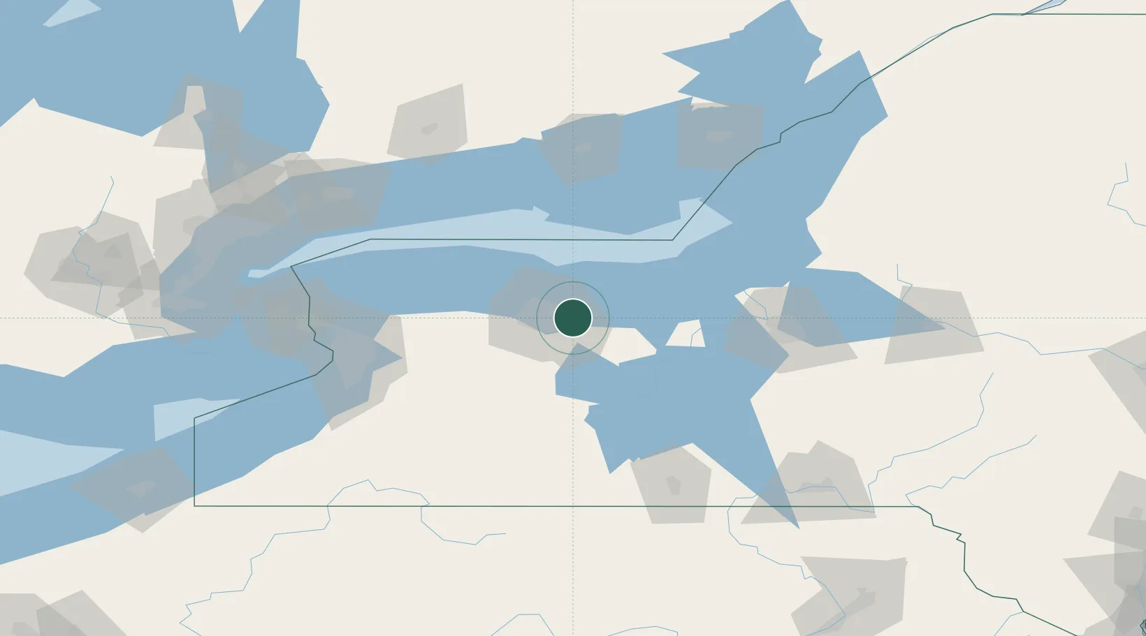
Location
Nearby Logistics Neighbours
Airports
Trade Zones
- 1FTZ No. 289 Ontario County39 km
- 2FTZ No. 141 Monroe County44 km
- 3FTZ No. 090 Onondaga80 km
- 4FTZ No. 172 Oneida County115 km
- 5FTZ No. 023 Buffalo120 km
DatabookThe Record of Consolidated Knowledge
United States beyond logistics?