Transport Functions
Rail
Road
Multimodal
Hub Profile
Place type
Populated place
Region
New York
Time zone
America/New_York
Elevation
82 m
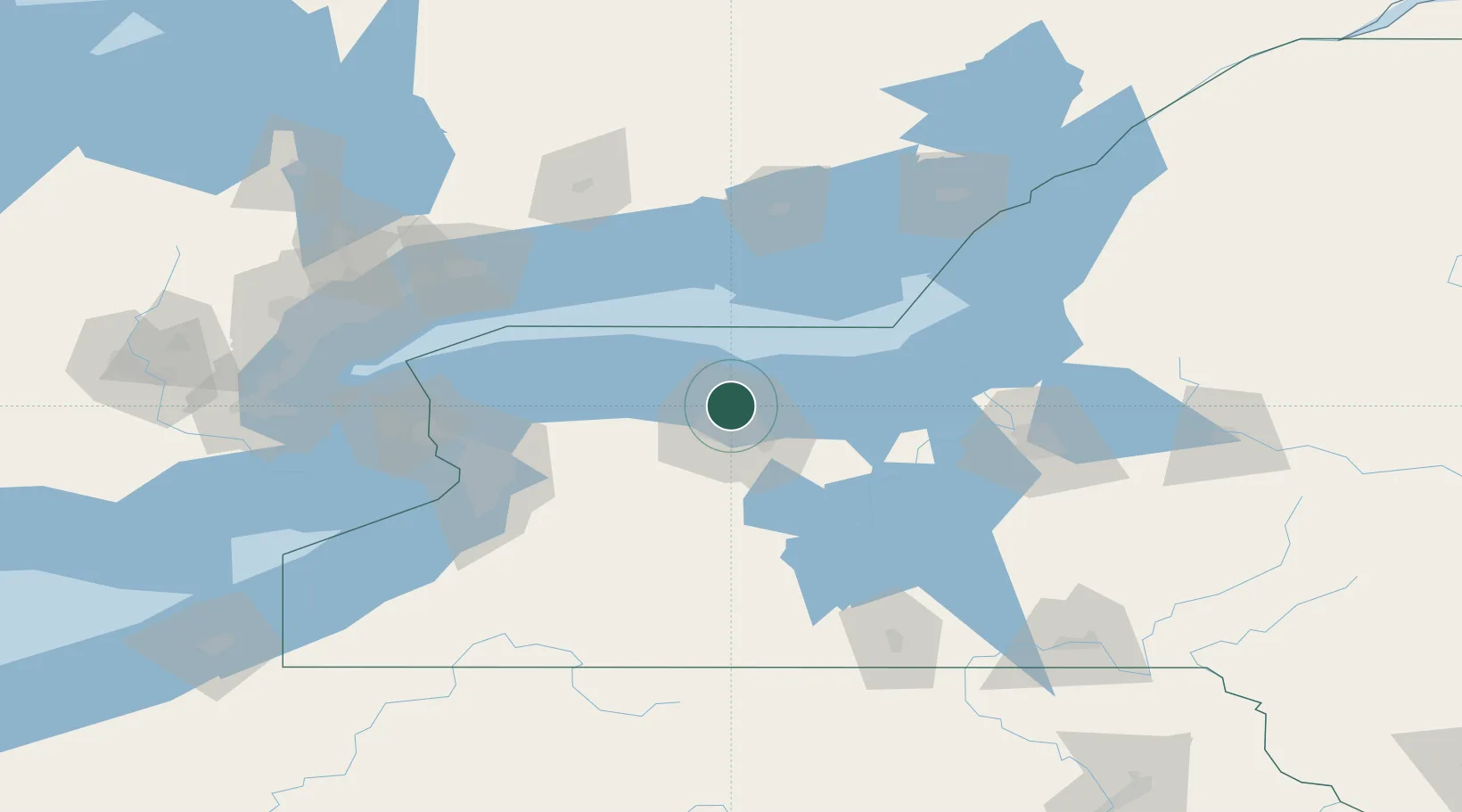
Location
Nearby Logistics Neighbours
Cities
- 1Hilton4 km
- 2Greece8 km
- 3Rochester12 km
- 4Spencerport17 km
- 5Penfield18 km
Airports
Trade Zones
- 1FTZ No. 141 Monroe County28 km
- 2FTZ No. 289 Ontario County49 km
- 3FTZ No. 090 Onondaga89 km
- 4FTZ No. 023 Buffalo110 km
- 5Niagara Foreign Trade Zone117 km
DatabookThe Record of Consolidated Knowledge
United States beyond logistics?