UN/LOCODE hub · United States
USHT8
Henrietta
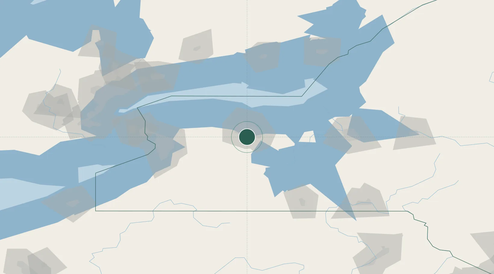
43.0500°, -77.6167°
42,581
Population
2
Transport functions
Transport Functions
Road
Multimodal
Hub Profile
Place type
Populated place
Region
New York
Population
42,581
Time zone
America/New_York
Elevation
183 m
Location
Nearby Logistics Neighbours
Cities
- 1Scottsville10 km
- 2Mendon12 km
- 3Rochester12 km
- 4Penfield18 km
- 5Greece18 km
Airports
Trade Zones
- 1FTZ No. 289 Ontario County27 km
- 2FTZ No. 141 Monroe County39 km
- 3FTZ No. 090 Onondaga97 km
- 4FTZ No. 023 Buffalo104 km
- 5Niagara Foreign Trade Zone116 km
DatabookThe Record of Consolidated Knowledge
United States beyond logistics?