UN/LOCODE hub · United States
USROC
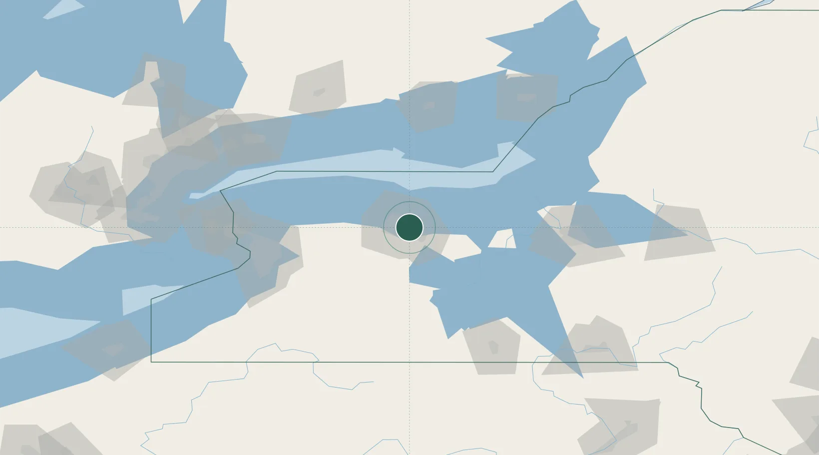
Rochester
43.1505°, -77.5542°
209,802
Population
2
Transport functions
Transport Functions
Port
Airport
Hub Profile
Place type
Provincial seat
Region
New York
Population
209,802
Time zone
America/New_York
Elevation
154 m
Logistics facilities
1
Location
Nearby Logistics Neighbours
Airports
Trade Zones
- 1FTZ No. 141 Monroe County37 km
- 2FTZ No. 289 Ontario County38 km
- 3FTZ No. 090 Onondaga88 km
- 4FTZ No. 023 Buffalo112 km
- 5Niagara Foreign Trade Zone121 km
DatabookThe Record of Consolidated Knowledge
United States beyond logistics?