UN/LOCODE hub · United States
USHM4
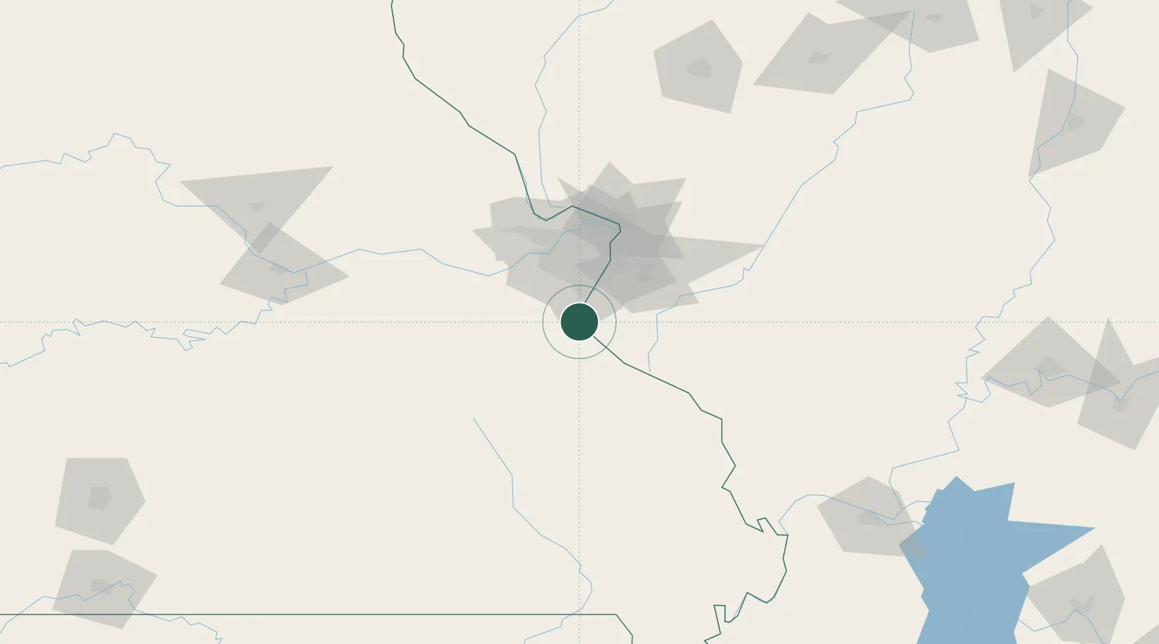
Herculaneum
38.2667°, -90.3833°
3,935
Population
4
Transport functions
Transport Functions
Port
Rail
Road
Multimodal
Hub Profile
Place type
Populated place
Region
Missouri
Population
3,935
Time zone
America/Chicago
Elevation
135 m
Location
Nearby Logistics Neighbours
Cities
- 1Pevely2 km
- 2Valmeyer10 km
- 3Crestwood11 km
- 4Imperial11 km
- 5House Springs22 km
Ports
- 1Port Of Memphis356 km
- 2Indiana Harbor454 km
- 3Gary454 km
- 4Calumet Harbor456 km
- 5Chicago467 km
Airports
Trade Zones
- 1FTZ No. 102 St. Louis County51 km
- 2FTZ No. 031 Granite City55 km
- 3FTZ No. 294 Western Kentucky207 km
- 4FTZ No. 245 Decatur211 km
- 5FTZ No. 177 Evansville244 km
DatabookThe Record of Consolidated Knowledge
United States beyond logistics?