Transport Functions
Multimodal
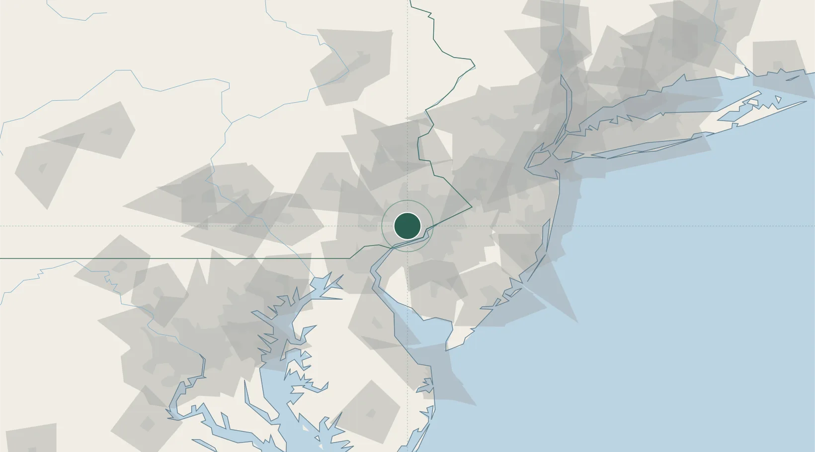
Hub Profile
Place type
Populated place
Region
Pennsylvania
Time zone
America/New_York
Elevation
97 m
Location
Nearby Logistics Neighbours
Cities
- 1Ardmore0 km
- 2Wynnewood1 km
- 3Gladwyne4 km
- 4Bala-Cynwyd5 km
- 5Manayunk6 km
Ports
- 1Philadelphia14 km
- 2Camden14 km
- 3Paulsboro17 km
- 4Gloucester17 km
- 5Chester18 km
Airports
Trade Zones
DatabookThe Record of Consolidated Knowledge
United States beyond logistics?