UN/LOCODE hub · Ukraine
UAZUT

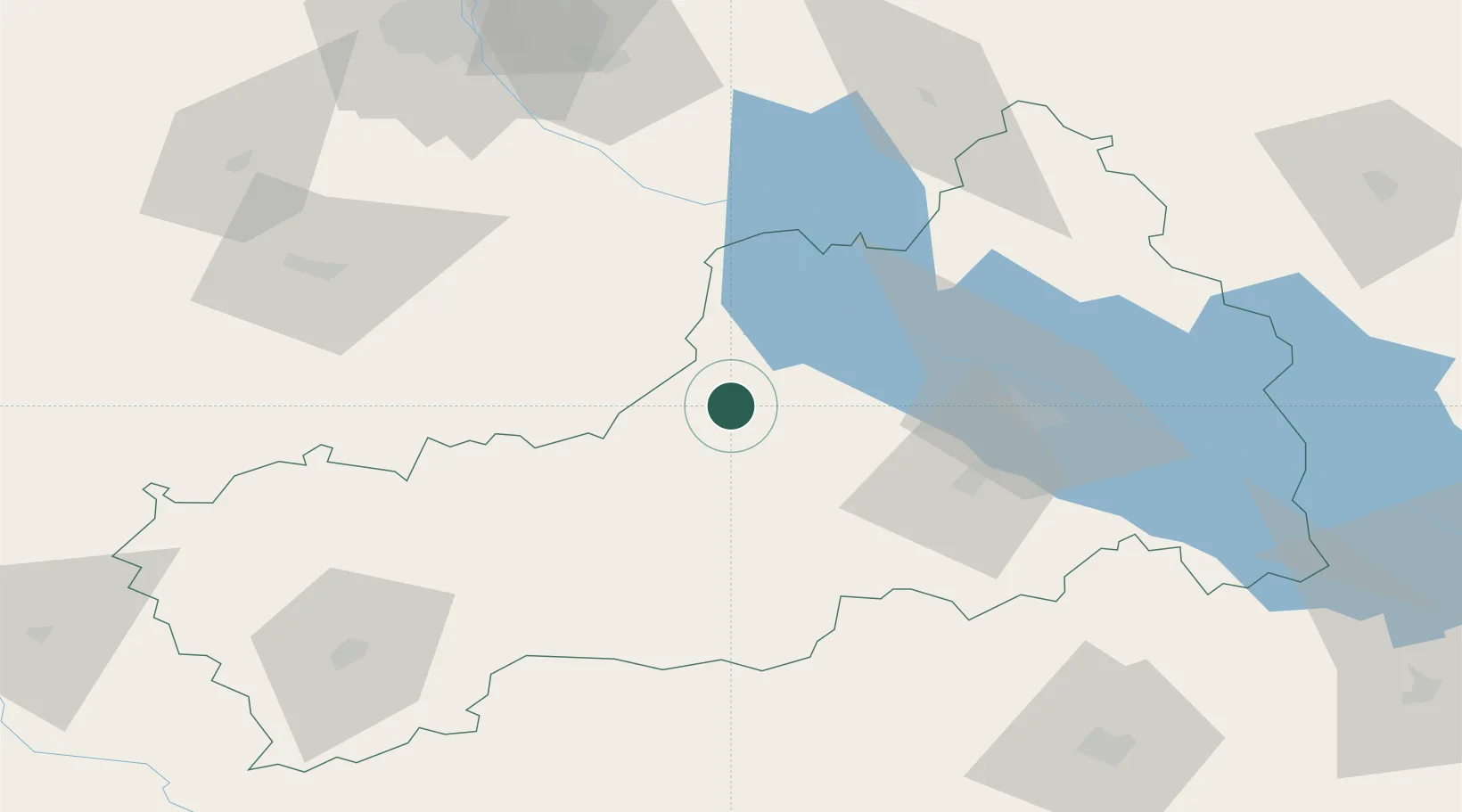
Korsun Shevchenkivskyy

49.4333°, 31.2500°
17,763
Population
1
Transport functions

Transport Functions

Multimodal
UN/LOCODE

Hub Profile

Place type
Provincial seat
GeoNames
Region
Cherkasy
GeoNames
Population
17,763
GeoNames
Time zone
Europe/Kyiv
GeoNames
Elevation
105 m
GeoNames

Location

Location of UAZUT
Natural Earth 10m (public domain) · Cherkasy · UAZUT · 49.43, 31.25GoogleOSMYandex

Nearby Logistics Neighbours

Cities
  1. 1Kaniv39 km
  2. 2Zolotonosha62 km
  3. 3Tal Ne73 km
  4. 4Zhashkiv86 km
  5. 5Uman107 km
Nearest neighbours — logibook spatial index (haversine) over the source coordinates
Ports
  1. 1Mykolayiv281 km
  2. 2Port Oktyabrsk294 km
  3. 3Yuzhnyy316 km
  4. 4Kherson329 km
  5. 5Odesa330 km
Nearest neighbours — logibook spatial index (haversine) over the source coordinates
Airports
  1. 1Cherkasy International Airport54 km
  2. 2Bila Tserkva Air Base97 km
  3. 3Boryspil International Airport105 km
  4. 4Ihor Sikorsky Kyiv International Airport (Zhuliany)122 km
  5. 5Hostomel Airport151 km
Nearest neighbours — logibook spatial index (haversine) over the source coordinates
Trade Zones
  1. 1Slavutych Special Economic Zone235 km
  2. 2Free Enterprise Zone- Otaci Business Park277 km
  3. 3Special Economic Zone Nikolaev (Mykolaiv)279 km
  4. 4Free International Airport Mărculești283 km
  5. 5North Caucasus Resort Cluster296 km
Nearest neighbours — logibook spatial index (haversine) over the source coordinates
DatabookThe Record of Consolidated Knowledge
Ukraine beyond logistics?
Browse databook

All Sources

LocationsUN/LOCODE
UN/LOCODE — free
LocationsGeoNames
CC BY 4.0
Portsthe NGA World Port Index
Public domain (US gov)
AirportsOurAirports
Public domain
Trade Zonesthe World Bank SEZ database
CC BY 4.0
Trade ZonesOpen Zone Map
CC BY
← Ukraine locations