Transport Functions
Rail
Road
Hub Profile
Place type
Populated place
Region
Vinnytsia
Population
7,584
Time zone
Europe/Kyiv
Elevation
192 m
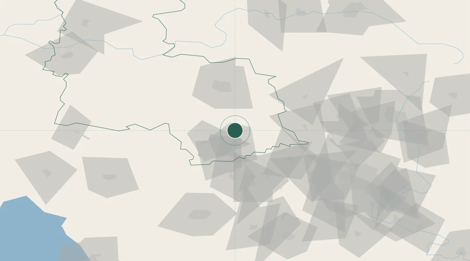
Location
Nearby Logistics Neighbours
Cities
- 1Bogodukhov54 km
- 2Dergachi68 km
- 3Pivdenne105 km
- 4Krasnograd126 km
- 5Shebekino140 km
Ports
- 1Mariupol423 km
- 2Berdyansk435 km
- 3Mykolayiv447 km
- 4Port Oktyabrsk460 km
- 5Kherson461 km
Airports
- 1Kharkiv International Airport114 km
- 2Belgorod International Airport119 km
- 3Kursk East Airport172 km
- 4Nizhyn Air Base226 km
- 5Dnipro International Airport235 km
Trade Zones
DatabookThe Record of Consolidated Knowledge
Ukraine beyond logistics?