Medium airport · Russia
Belgorod International AirportUUOB
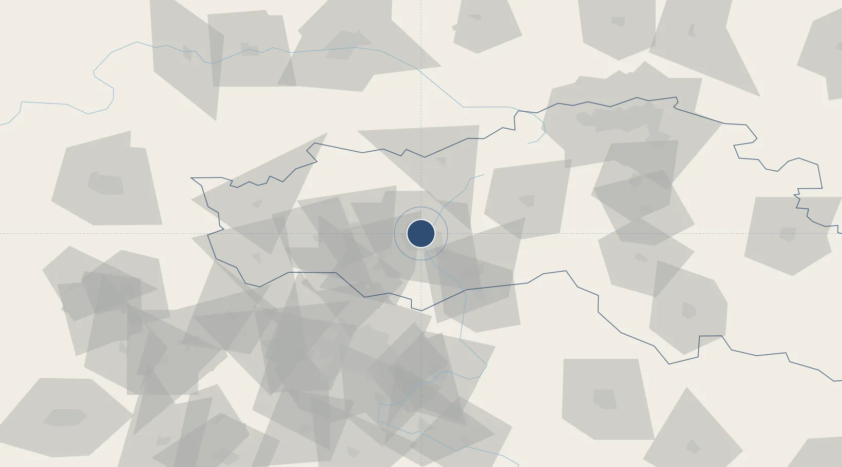
50.6438°, 36.5901°
8,202 ft
Longest runway
2
Runways
735 ft
Elevation
Runway & Layout

Radio Frequencies
TWR
118.2 MHz
GND
121.7 MHz
TAXIING
APP
133 MHz
Navaids
AN NDB Belgorod 718 kHz
BX NDB Belgorod 718 kHz
Runways · 2
| Runway | Dimensions | Surface | True heading | Lit |
|---|---|---|---|---|
| 11/29 | 8,202 × 138ft | Asphalt | 117° | ✓ |
| 12/30 | 7,930 × 220ft | Graded earth | 117° | — |
Airport Specifications
IATA code
EGO
ICAO code
UUOB
Airport class
Medium airport
Scheduled service
Yes
Runway surface
Asphalt
Served city
Belgorod
Location
Nearby Logistics Neighbours
Airports
- 1Kharkiv International Airport83 km
- 2Kursk East Airport125 km
- 3Voronezh Baltimore Air Base208 km
- 4Voronezh International Airport225 km
- 5Dnipro International Airport276 km
Cities
- 1Shebekino35 km
- 2Chuhuyiv90 km
- 3Pivdenne94 km
- 4Bogodukhov95 km
- 5Dergachi109 km
Ports
- 1Mariupol402 km
- 2Taganrog420 km
- 3Berdyansk433 km
- 4Azov446 km
- 5Rostov-Na-Donu449 km
DatabookThe Record of Consolidated Knowledge
Russia beyond logistics?