Transport Functions
Multimodal
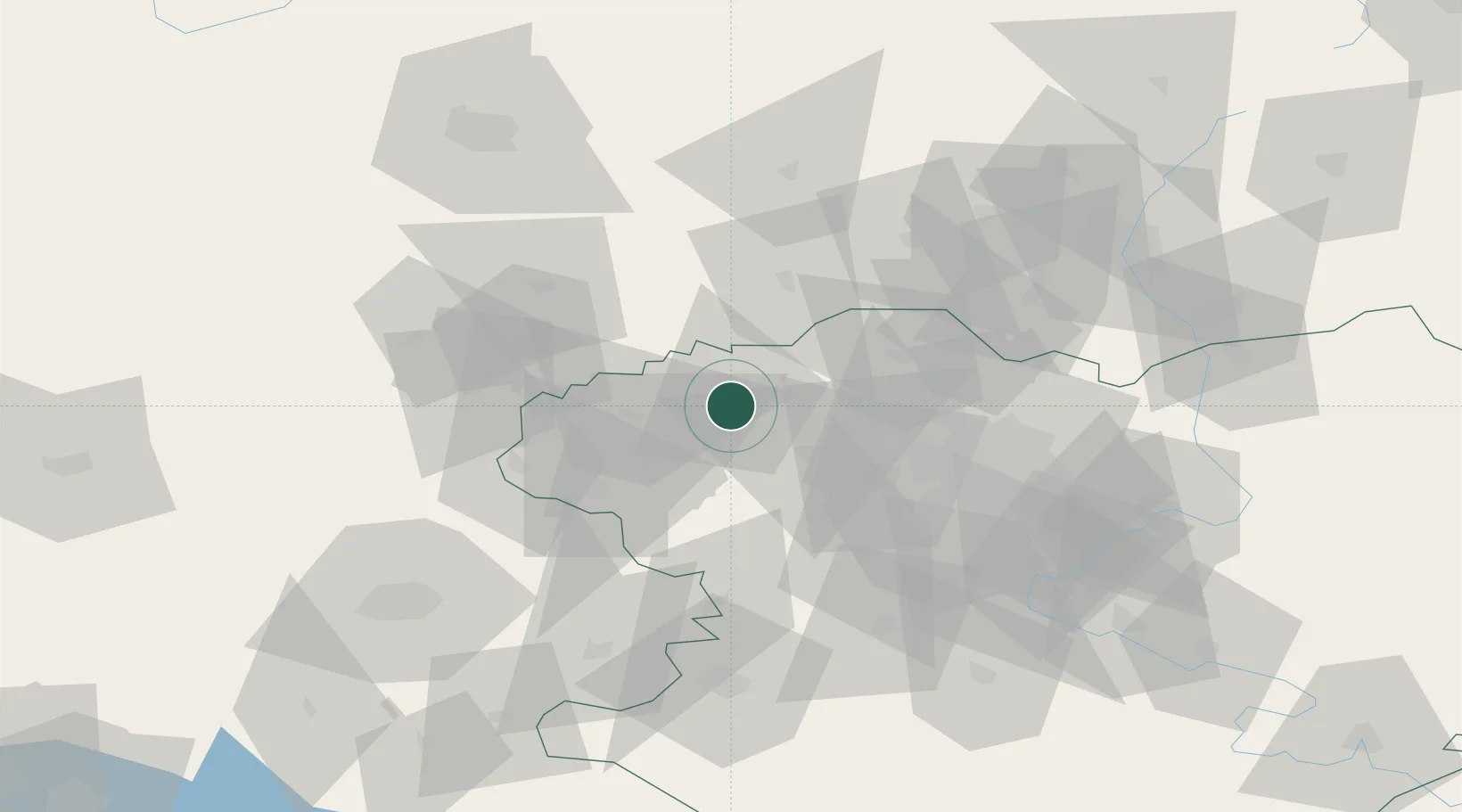
Hub Profile
Region
63
Location
Nearby Logistics Neighbours
Cities
- 1Dergachi20 km
- 2Pivdenne51 km
- 3Trostyanets54 km
- 4Krasnograd85 km
- 5Chuhuyiv92 km
Airports
Trade Zones
- 1North Caucasus Resort Cluster193 km
- 2Special Economic Zone Donetsk286 km
- 3Yeletsprom Special Economic Zone347 km
- 4Slavutych Special Economic Zone367 km
- 5Azov Economic Zone373 km
DatabookThe Record of Consolidated Knowledge
Ukraine beyond logistics?