Transport Functions
Multimodal
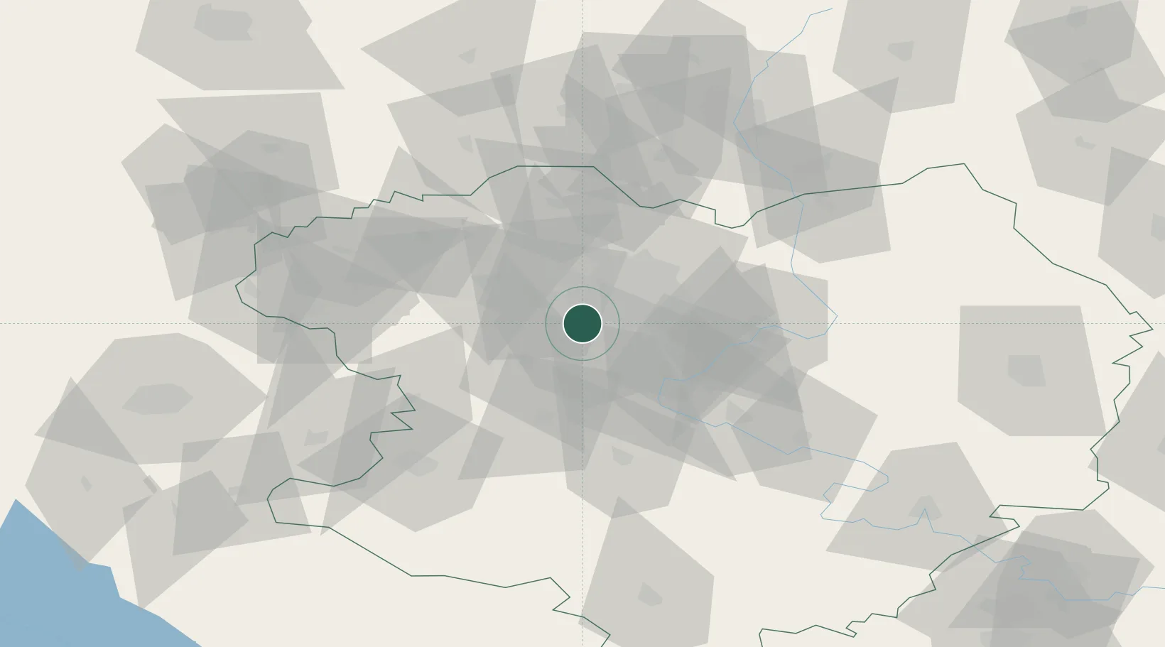
Hub Profile
Place type
Populated place
Region
Kharkivs’ka Oblast’
Population
7,319
Time zone
Europe/Kyiv
Elevation
180 m
Location
Nearby Logistics Neighbours
Cities
- 1Dergachi43 km
- 2Chuhuyiv44 km
- 3Bogodukhov51 km
- 4Andreevka54 km
- 5Krasnograd70 km
Airports
DatabookThe Record of Consolidated Knowledge
Ukraine beyond logistics?