Transport Functions
Rail
Road
Hub Profile
Place type
Populated place
Region
Poltava
Time zone
Europe/Kyiv
Elevation
78 m
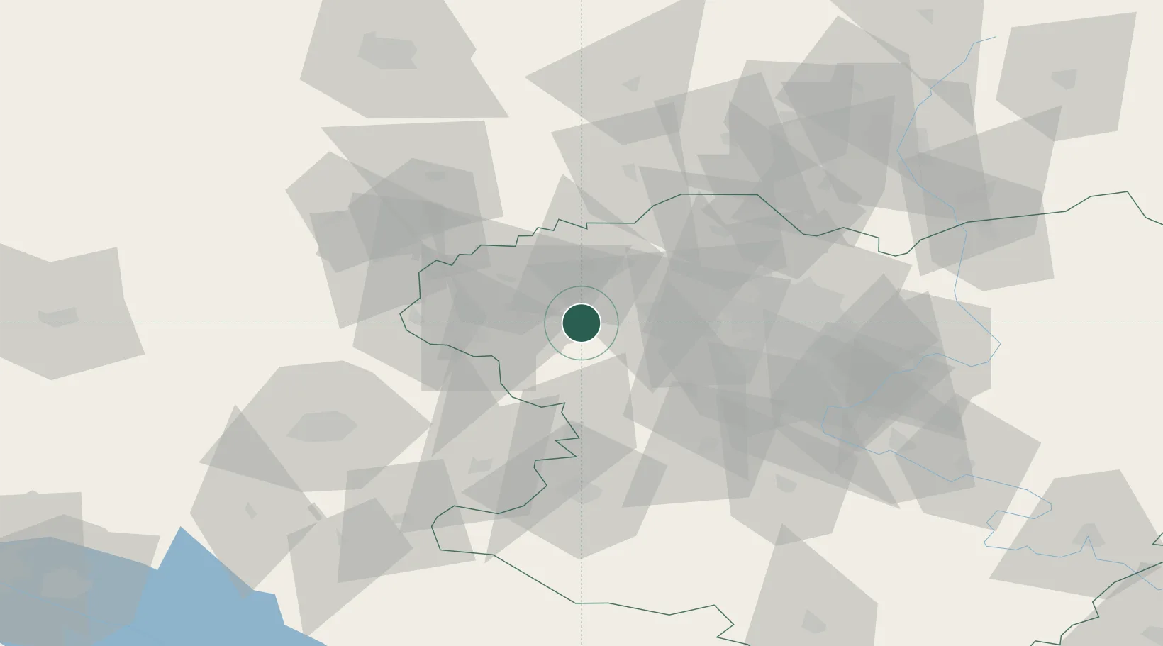
Location
Nearby Logistics Neighbours
Cities
- 1Bogodukhov20 km
- 2Pivdenne43 km
- 3Krasnograd65 km
- 4Trostyanets68 km
- 5Chuhuyiv87 km
Airports
Trade Zones
- 1North Caucasus Resort Cluster173 km
- 2Special Economic Zone Donetsk270 km
- 3Azov Economic Zone356 km
- 4Yeletsprom Special Economic Zone364 km
- 5Slavutych Special Economic Zone376 km
DatabookThe Record of Consolidated Knowledge
Ukraine beyond logistics?