UN/LOCODE hub · Türkiye
TRPZZ

Pozanti

37.4167°, 34.8667°
10,517
Population
2
Transport functions

Transport Functions

Road
Multimodal
UN/LOCODE

Hub Profile

Place type
Provincial seat
GeoNames
Region
Adana
GeoNames
Population
10,517
GeoNames
Time zone
Europe/Istanbul
GeoNames
Elevation
827 m
GeoNames

Location

Location of TRPZZ
Natural Earth 10m (public domain) · Adana · TRPZZ · 37.42, 34.87GoogleOSMYandex

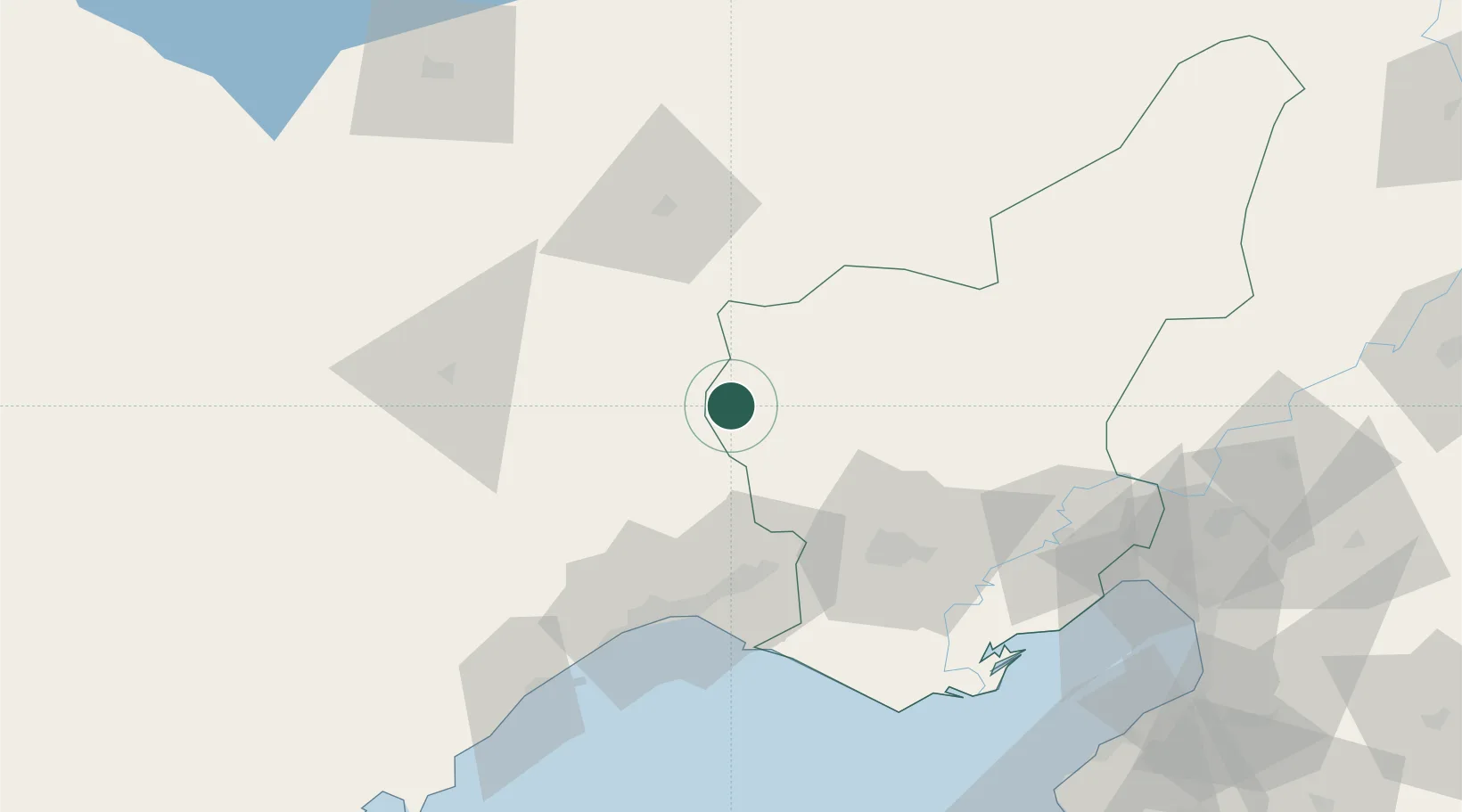
Nearby Logistics Neighbours

Cities
  1. 1Mersin51 km
  2. 2Akdeniz63 km
  3. 3Kazanli66 km
  4. 4Mersin-Free Zone72 km
  5. 5Adana82 km
Nearest neighbours — logibook spatial index (haversine) over the source coordinates
Ports
  1. 1Mersin72 km
  2. 2Botas112 km
  3. 3Toros Gubre112 km
  4. 4Yakacik140 km
  5. 5Iskenderun147 km
Nearest neighbours — logibook spatial index (haversine) over the source coordinates
Airports
  1. 1Adana Şakirpaşa Airport61 km
  2. 2Çukurova International Airport61 km
  3. 3İncirlik Air Base68 km
  4. 4Nevşehir Kapadokya Airport154 km
  5. 5Kayseri Erkilet International Airport160 km
Nearest neighbours — logibook spatial index (haversine) over the source coordinates
Trade Zones
  1. 1Mersin Tarsus Organized Industrial Zone65 km
  2. 2Mersin Free Zone70 km
  3. 3Adana Haci Sabanci Organized Industrial Zone81 km
  4. 4Adana Yumurtalik Free Zone116 km
  5. 5Osmaniye Organized Industrial Zone118 km
Nearest neighbours — logibook spatial index (haversine) over the source coordinates
DatabookThe Record of Consolidated Knowledge
Türkiye beyond logistics?
Browse databook

All Sources

LocationsUN/LOCODE
UN/LOCODE — free
LocationsGeoNames
CC BY 4.0
Portsthe NGA World Port Index
Public domain (US gov)
AirportsOurAirports
Public domain
Trade Zonesthe World Bank SEZ database
CC BY 4.0
Trade ZonesOpen Zone Map
CC BY
← Türkiye locations