Large airport · Türkiye

Nevşehir Kapadokya AirportLTAZ
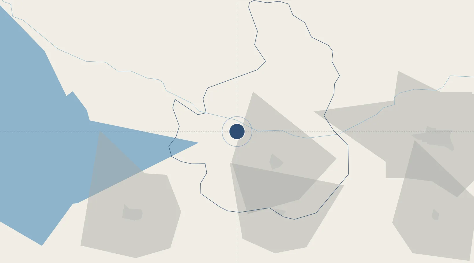
38.7719°, 34.5345°
9,842 ft
Longest runway
1
Runways
3,100 ft
Elevation

Runway & Layout

Nevşehir Kapadokya Airport runway & taxiway layout
Runway & taxiway layout — OpenStreetMap (ODbL) / OurAirports

Radio Frequencies

TWR
35.892 MHz
TWR
119 MHz
APP
119.1 MHz
ESENBOGA APP
OurAirports

Navaids

TZK VOR-DME Tuzkoy 115.30 MHz
TZK NDB Tuzkoy 371 kHz
OurAirports

Runways · 1

RunwayDimensions SurfaceTrue headingLit
11/29 9,842 × 148ft Concrete 117°
OurAirports

Airport Specifications

IATA code
NAV
OurAirports
ICAO code
LTAZ
OurAirports
Airport class
Large airport
OurAirports
Scheduled service
Yes
OurAirports
Runway surface
Concrete
OurAirports
Served city
Nevşehir
OurAirports

Location

Location of LTAZ
Natural Earth 10m (public domain) · Nevsehir · LTAZ · 38.77, 34.53GoogleOSMYandex

Nearby Logistics Neighbours

Airports
  1. 1Kayseri Erkilet International Airport83 km
  2. 2Konya Airport193 km
  3. 3Esenboğa International Airport201 km
  4. 4Etimesgut Air Base206 km
  5. 5Adana Şakirpaşa Airport210 km
Nearest neighbours — logibook spatial index (haversine) over the source coordinates
Cities
  1. 1Kayseri77 km
  2. 2Pozanti154 km
  3. 3Elmadag170 km
  4. 4Karagedik174 km
  5. 5Hasanoglan179 km
Nearest neighbours — logibook spatial index (haversine) over the source coordinates
Ports
  1. 1Mersin219 km
  2. 2Toros Gubre242 km
  3. 3Botas243 km
  4. 4Yakacik271 km
  5. 5Tasucu279 km
Nearest neighbours — logibook spatial index (haversine) over the source coordinates
Trade Zones
  1. 1Kirsehir Organized Industrial Zone45 km
  2. 2Kayseri Incesu Organized Industrial Zone60 km
  3. 3Kayseri Free Zone69 km
  4. 4Kayseri Organized Industrial Zone72 km
  5. 5Kayseri Mimarsinan Organized Industrial Zone95 km
Nearest neighbours — logibook spatial index (haversine) over the source coordinates
DatabookThe Record of Consolidated Knowledge
Türkiye beyond logistics?
Browse databook

All Sources

AirportsOurAirports
Public domain
Portsthe NGA World Port Index
Public domain (US gov)
LocationsUN/LOCODE
UN/LOCODE — free
Trade Zonesthe World Bank SEZ database
CC BY 4.0
Trade ZonesOpen Zone Map
CC BY
InfrastructureOpenStreetMap
ODbL 1.0
← Türkiye airports