Transport Functions
Port
Airport
Hub Profile
Place type
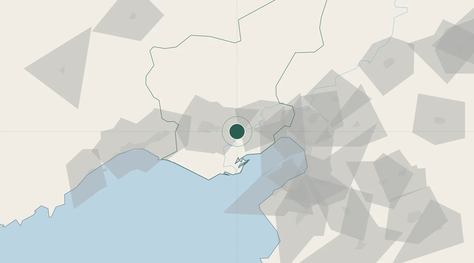
Regional capital
Region
Adana
Population
1,816,750
Time zone
Europe/Istanbul
Elevation
30 m
Logistics facilities
1
Location
Nearby Logistics Neighbours
Cities
- 1Yumurtalik28 km
- 2Toros Gubre Terminal, Gubre35 km
- 3Karatas50 km
- 4Botas54 km
- 5Dörtyol55 km
Ports
- 1Botas31 km
- 2Toros Gubre33 km
- 3Yakacik59 km
- 4Iskenderun65 km
- 5Mersin88 km
Airports
- 1İncirlik Air Base16 km
- 2Adana Şakirpaşa Airport28 km
- 3Çukurova International Airport47 km
- 4Hatay Airport91 km
- 5Kahramanmaraş Airport136 km
DatabookThe Record of Consolidated Knowledge
Türkiye beyond logistics?