UN/LOCODE hub · Türkiye
TRMER
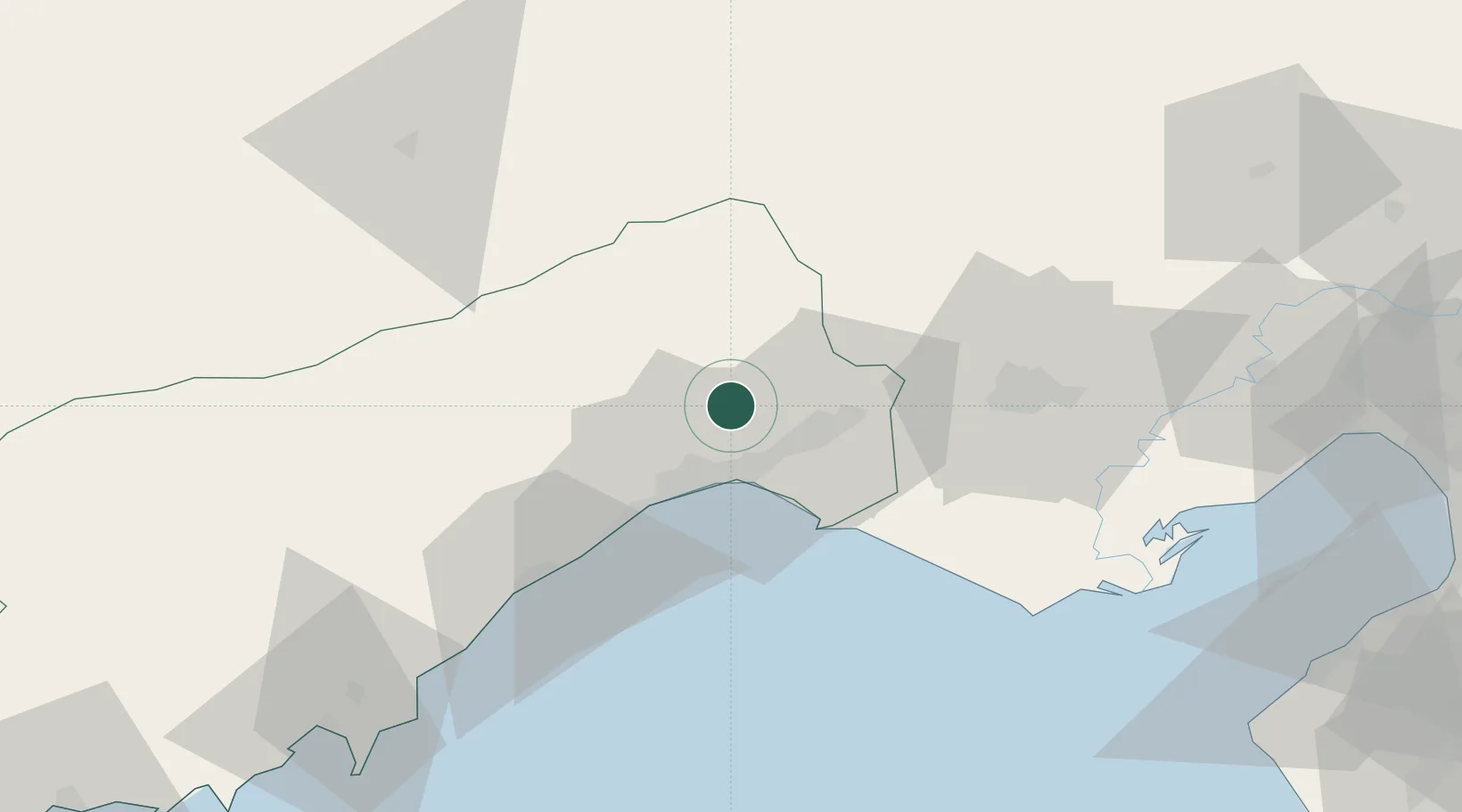
Mersin
36.9738°, 34.7239°
537,842
Population
3
Transport functions
1
Container terminals
Transport Functions
Port
Rail
Road
Hub Profile
Place type
Regional capital
Region
Mersin
Population
537,842
Time zone
Europe/Istanbul
Elevation
10 m
Logistics facilities
16
Container terminals
1
Location
Nearby Logistics Neighbours
Cities
- 1Akdeniz12 km
- 2Kazanli16 km
- 3Mersin-Free Zone21 km
- 4Pozanti51 km
- 5Karatas75 km
Ports
- 1Tasucu105 km
- 2Botas108 km
- 3Toros Gubre111 km
- 4Yakacik133 km
- 5Iskenderun135 km
Airports
- 1Çukurova International Airport32 km
- 2Adana Şakirpaşa Airport49 km
- 3İncirlik Air Base62 km
- 4Hatay Airport155 km
- 5Nevşehir Kapadokya Airport201 km
Trade Zones
DatabookThe Record of Consolidated Knowledge
Türkiye beyond logistics?