Large airport · Türkiye

Kayseri Erkilet International AirportLTAU
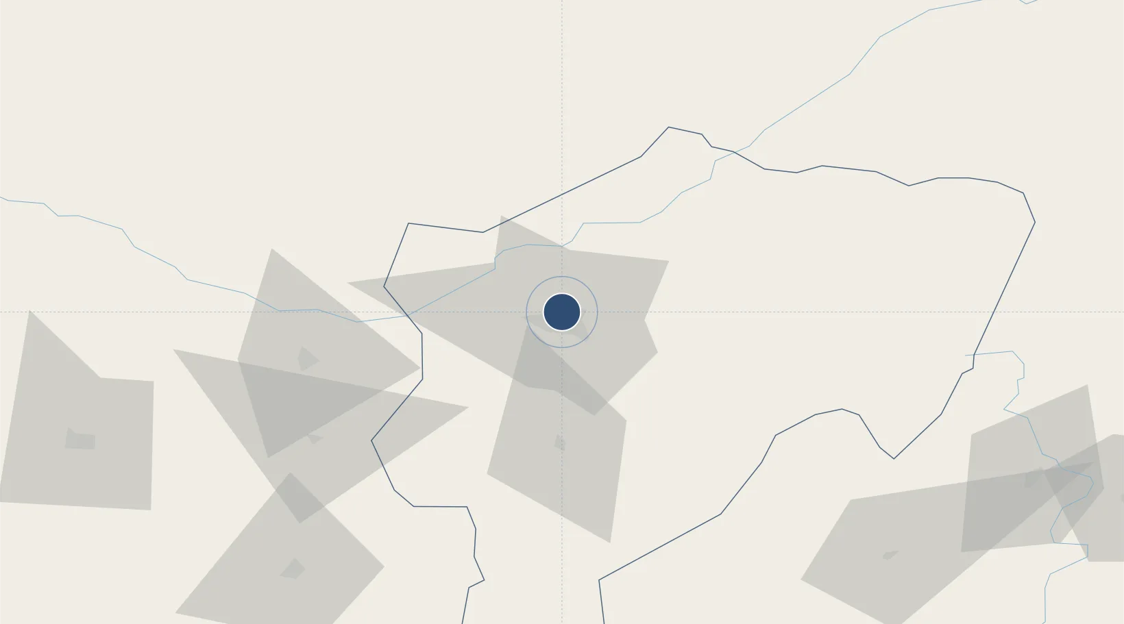
38.7704°, 35.4954°
9,841 ft
Longest runway
1
Runways
3,463 ft
Elevation

Runway & Layout

Kayseri Erkilet International Airport runway & taxiway layout
Runway & taxiway layout — OpenStreetMap (ODbL) / OurAirports

Radio Frequencies

TWR
122.1 MHz
GND
121.95 MHz
APP
122.1 MHz
OurAirports

Navaids

KSR TACAN Kayseri 116.90 MHz
KSR VOR-DME Kayseri 116.30 MHz
OurAirports

Runways · 1

RunwayDimensions SurfaceTrue headingLit
07/25 9,841 × 145ft Concrete 076°
OurAirports

Airport Specifications

IATA code
ASR
OurAirports
ICAO code
LTAU
OurAirports
Airport class
Large airport
OurAirports
Scheduled service
Yes
OurAirports
Runway surface
Concrete
OurAirports
Served city
Kayseri
OurAirports

Location

Location of LTAU
Natural Earth 10m (public domain) · Kayseri · LTAU · 38.77, 35.50GoogleOSMYandex

Nearby Logistics Neighbours

Airports
  1. 1Nevşehir Kapadokya Airport83 km
  2. 2Sivas Nuri Demirağ Airport168 km
  3. 3Kahramanmaraş Airport187 km
  4. 4Tokat Airport189 km
  5. 5İncirlik Air Base197 km
Nearest neighbours — logibook spatial index (haversine) over the source coordinates
Cities
  1. 1Kayseri7 km
  2. 2Elbistan160 km
  3. 3Pozanti160 km
  4. 4Kadirli165 km
  5. 5Armutlu179 km
Nearest neighbours — logibook spatial index (haversine) over the source coordinates
Ports
  1. 1Toros Gubre210 km
  2. 2Botas213 km
  3. 3Mersin232 km
  4. 4Yakacik236 km
  5. 5Iskenderun249 km
Nearest neighbours — logibook spatial index (haversine) over the source coordinates
Trade Zones
  1. 1Kayseri Organized Industrial Zone13 km
  2. 2Kayseri Mimarsinan Organized Industrial Zone14 km
  3. 3Kayseri Free Zone14 km
  4. 4Kayseri Incesu Organized Industrial Zone36 km
  5. 5Kirsehir Organized Industrial Zone118 km
Nearest neighbours — logibook spatial index (haversine) over the source coordinates
DatabookThe Record of Consolidated Knowledge
Türkiye beyond logistics?
Browse databook

All Sources

AirportsOurAirports
Public domain
Portsthe NGA World Port Index
Public domain (US gov)
LocationsUN/LOCODE
UN/LOCODE — free
Trade Zonesthe World Bank SEZ database
CC BY 4.0
Trade ZonesOpen Zone Map
CC BY
InfrastructureOpenStreetMap
ODbL 1.0
← Türkiye airports