Transport Functions
Road
Multimodal
Hub Profile
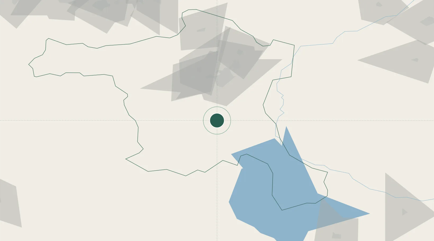
Place type
Populated place
Region
Ankara
Time zone
Europe/Istanbul
Elevation
1,036 m
Location
Nearby Logistics Neighbours
Cities
- 1Elmadag53 km
- 2Hasanoglan58 km
- 3Ankara58 km
- 4Gaziler164 km
- 5Konya183 km
Ports
- 1Eregli224 km
- 2Zonguldak227 km
- 3Izmit279 km
- 4Inebolu281 km
- 5Golcuk Burnu285 km
Airports
- 1Temelli Air Base41 km
- 2Etimesgut Air Base44 km
- 3Akıncı Air Base60 km
- 4Esenboğa International Airport65 km
- 5Sivrihisar Airport124 km
DatabookThe Record of Consolidated Knowledge
Türkiye beyond logistics?