Transport Functions
Port
Rail
Road
Hub Profile
Region
31
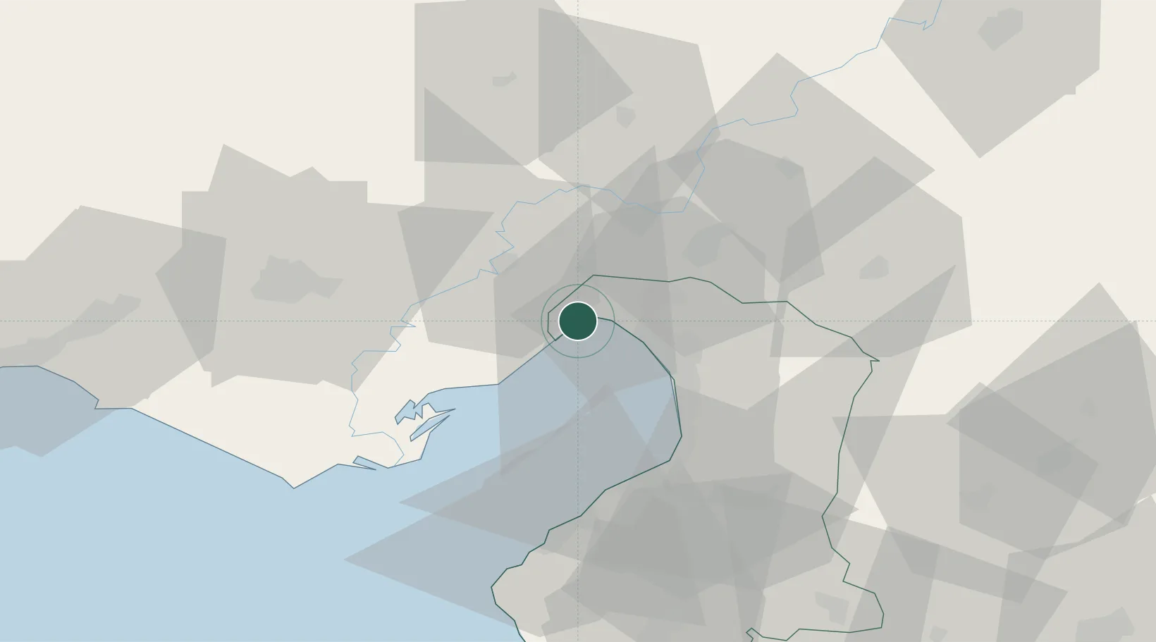
Location
Nearby Logistics Neighbours
Cities
- 1Botas20 km
- 2Dörtyol20 km
- 3Yumurtalik24 km
- 4Isdemir29 km
- 5Sariseki35 km
Ports
- 1Botas6 km
- 2Yakacik29 km
- 3Iskenderun39 km
- 4Mersin121 km
- 5Al Ladhiqiyah155 km
Airports
- 1İncirlik Air Base50 km
- 2Adana Şakirpaşa Airport63 km
- 3Hatay Airport67 km
- 4Çukurova International Airport81 km
- 5Kahramanmaraş Airport110 km
DatabookThe Record of Consolidated Knowledge
Türkiye beyond logistics?