UN/LOCODE hub · Türkiye
TRGUL

Güllük

37.2333°, 27.6000°
1
Transport functions

Transport Functions

Port
Güllük is also a profiled seaport →
UN/LOCODE

Hub Profile

Region
48
GeoNames

Location

Location of TRGUL
Natural Earth 10m (public domain) · 48 · TRGUL · 37.23, 27.60GoogleOSMYandex

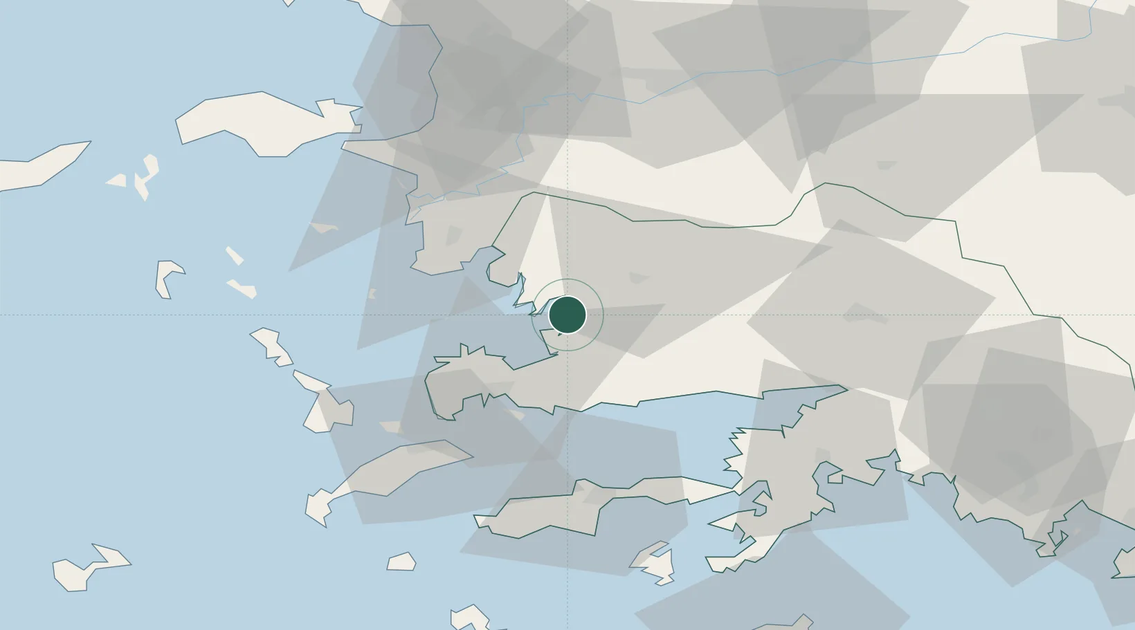
Nearby Logistics Neighbours

Cities
  1. 1Bodrum28 km
  2. 2Farmakonissi Dodekanissos46 km
  3. 3Kos51 km
  4. 4Phserimos Dodekanisou53 km
  5. 5Datça54 km
Nearest neighbours — logibook spatial index (haversine) over the source coordinates
Ports
  1. 1Bodrum27 km
  2. 2Limin Kos47 km
  3. 3Kalimnos63 km
  4. 4Lakki67 km
  5. 5Marmaris74 km
Nearest neighbours — logibook spatial index (haversine) over the source coordinates
Airports
  1. 1Milas Bodrum International Airport6 km
  2. 2Kalymnos Airport66 km
  3. 3Kos International Airport "Ippokratis"67 km
  4. 4Leros Airport71 km
  5. 5Samos Airport79 km
Nearest neighbours — logibook spatial index (haversine) over the source coordinates
Trade Zones
  1. 1Tire Organized Industrial Zone99 km
  2. 2Aegean Free Zone130 km
  3. 3Izmir Ataturk Organized Industrial Zone148 km
  4. 4Manisa Organized Industrial Zone155 km
  5. 5Salihli Organized Industrial Zone156 km
Nearest neighbours — logibook spatial index (haversine) over the source coordinates
DatabookThe Record of Consolidated Knowledge
Türkiye beyond logistics?
Browse databook

All Sources

LocationsUN/LOCODE
UN/LOCODE — free
Portsthe NGA World Port Index
Public domain (US gov)
AirportsOurAirports
Public domain
Trade Zonesthe World Bank SEZ database
CC BY 4.0
Trade ZonesOpen Zone Map
CC BY
← Türkiye locations