Transport Functions
Port
Airport
Hub Profile
Place type
Provincial seat
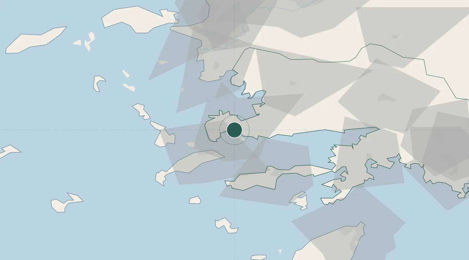
Region
Muğla
Population
39,317
Time zone
Europe/Istanbul
Elevation
11 m
Location
Nearby Logistics Neighbours
Cities
- 1Kos24 km
- 2Phserimos Dodekanisou28 km
- 3Güllük28 km
- 4Kardamaina Kos37 km
- 5Mastichari Kos37 km
Airports
- 1Milas Bodrum International Airport33 km
- 2Kos International Airport "Ippokratis"39 km
- 3Kalymnos Airport43 km
- 4Leros Airport57 km
- 5Samos Airport86 km
Trade Zones
- 1Tire Organized Industrial Zone124 km
- 2Aegean Free Zone147 km
- 3Izmir Ataturk Organized Industrial Zone166 km
- 4Manisa Organized Industrial Zone176 km
- 5Izmir Free Zone181 km
DatabookThe Record of Consolidated Knowledge
Türkiye beyond logistics?