UN/LOCODE hub · Greece
GRPSE

Phserimos Dodekanisou

36.9333°, 27.1333°
1
Transport functions

Transport Functions

Port
UN/LOCODE

Hub Profile

Region
81
GeoNames

Location

Location of GRPSE
Natural Earth 10m (public domain) · 81 · GRPSE · 36.93, 27.13GoogleOSMYandex

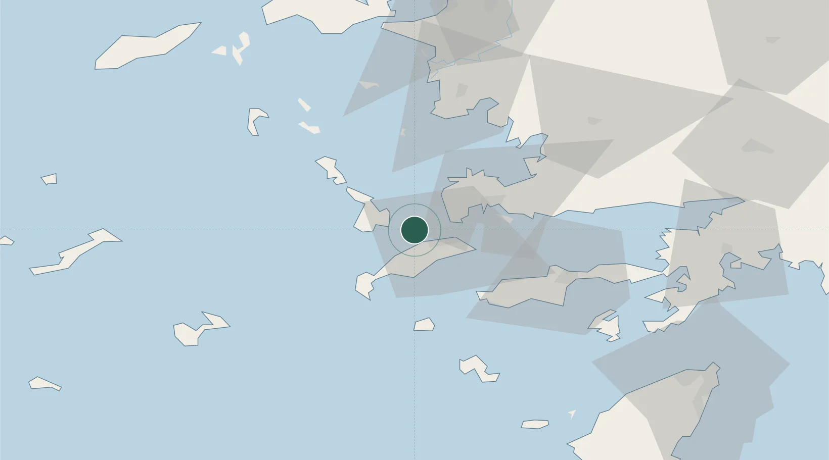
Nearby Logistics Neighbours

Cities
  1. 1Mastichari Kos11 km
  2. 2Kos13 km
  3. 3Kálymnos14 km
  4. 4Kardamaina Kos17 km
  5. 5Myrties Kalymnou20 km
Nearest neighbours — logibook spatial index (haversine) over the source coordinates
Ports
  1. 1Kalimnos14 km
  2. 2Limin Kos14 km
  3. 3Bodrum29 km
  4. 4Lakki34 km
  5. 5Gulluk56 km
Nearest neighbours — logibook spatial index (haversine) over the source coordinates
Airports
  1. 1Kos International Airport "Ippokratis"16 km
  2. 2Kalymnos Airport17 km
  3. 3Leros Airport41 km
  4. 4Milas Bodrum International Airport59 km
  5. 5Astypalaia Airport78 km
Nearest neighbours — logibook spatial index (haversine) over the source coordinates
Trade Zones
  1. 1Tire Organized Industrial Zone141 km
  2. 2Aegean Free Zone156 km
  3. 3Izmir Ataturk Organized Industrial Zone173 km
  4. 4Izmir Free Zone188 km
  5. 5Manisa Organized Industrial Zone188 km
Nearest neighbours — logibook spatial index (haversine) over the source coordinates
DatabookThe Record of Consolidated Knowledge
Greece beyond logistics?
Browse databook

All Sources

LocationsUN/LOCODE
UN/LOCODE — free
Portsthe NGA World Port Index
Public domain (US gov)
AirportsOurAirports
Public domain
Trade Zonesthe World Bank SEZ database
CC BY 4.0
Trade ZonesOpen Zone Map
CC BY
← Greece locations