Transport Functions
Port
Hub Profile
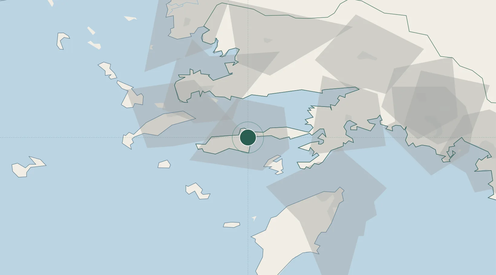
Place type
Populated place
Region
Muğla
Population
10,121
Time zone
Europe/Istanbul
Elevation
31 m
Location
Nearby Logistics Neighbours
Airports
Trade Zones
DatabookThe Record of Consolidated Knowledge
Türkiye beyond logistics?